Course E
Asahina Kiridoshi
Asahina Kiridoshi
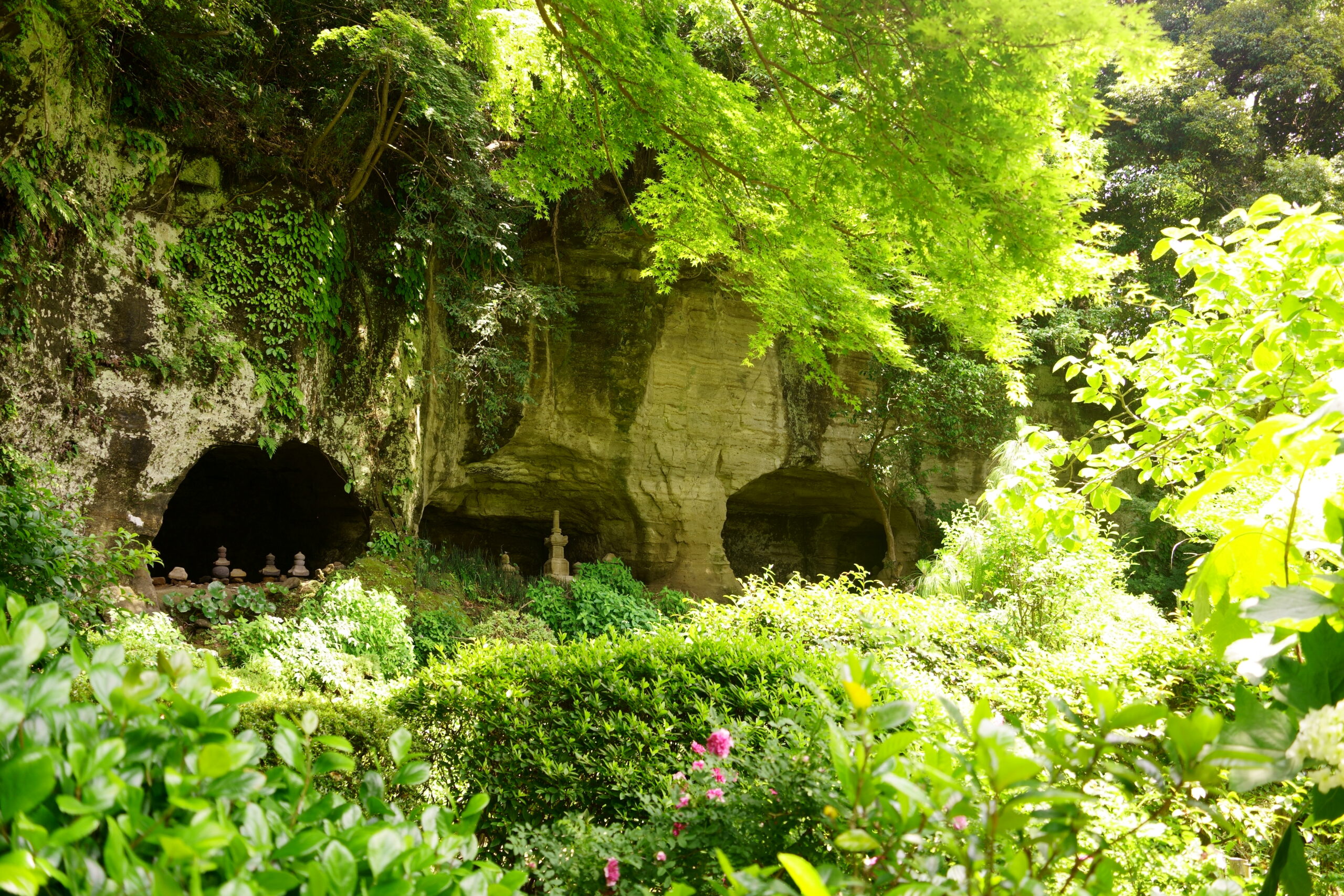
This road was constructed by the Kamakura Shogunate to open the main road connecting Rokuura and Kamakura. Chisel marks can be seen on the deeply dug rock walls on both sides. The harbor at Rokuura was a natural barrier against wind and waves, and the Kamakura Shogunate used it as a logistics hub, so the traffic must have been heavy at that time. There seems to have been a teahouse on the pass, and even today, standing in the excavated space of the teahouse ruins, one can imagine the traffic of those days.

Course Outline
- Difference in elevation: Relatively mild
- Shoes: non-slip shoes This is a mountain path with a spring running through it.

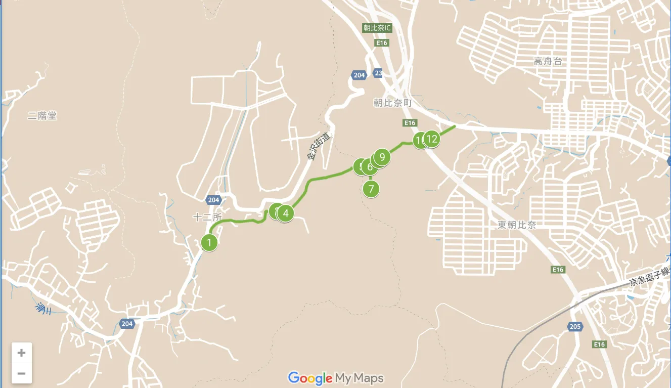
00:00 Jyuniso Shrine Bus stop
![]() 00:02 Kiridori Koshinzuka
00:02 Kiridori Koshinzuka
(Kiridoshi Koshinzuka)
Paved road in residential area
(Tatchiaraimizu)
Paved road next to river
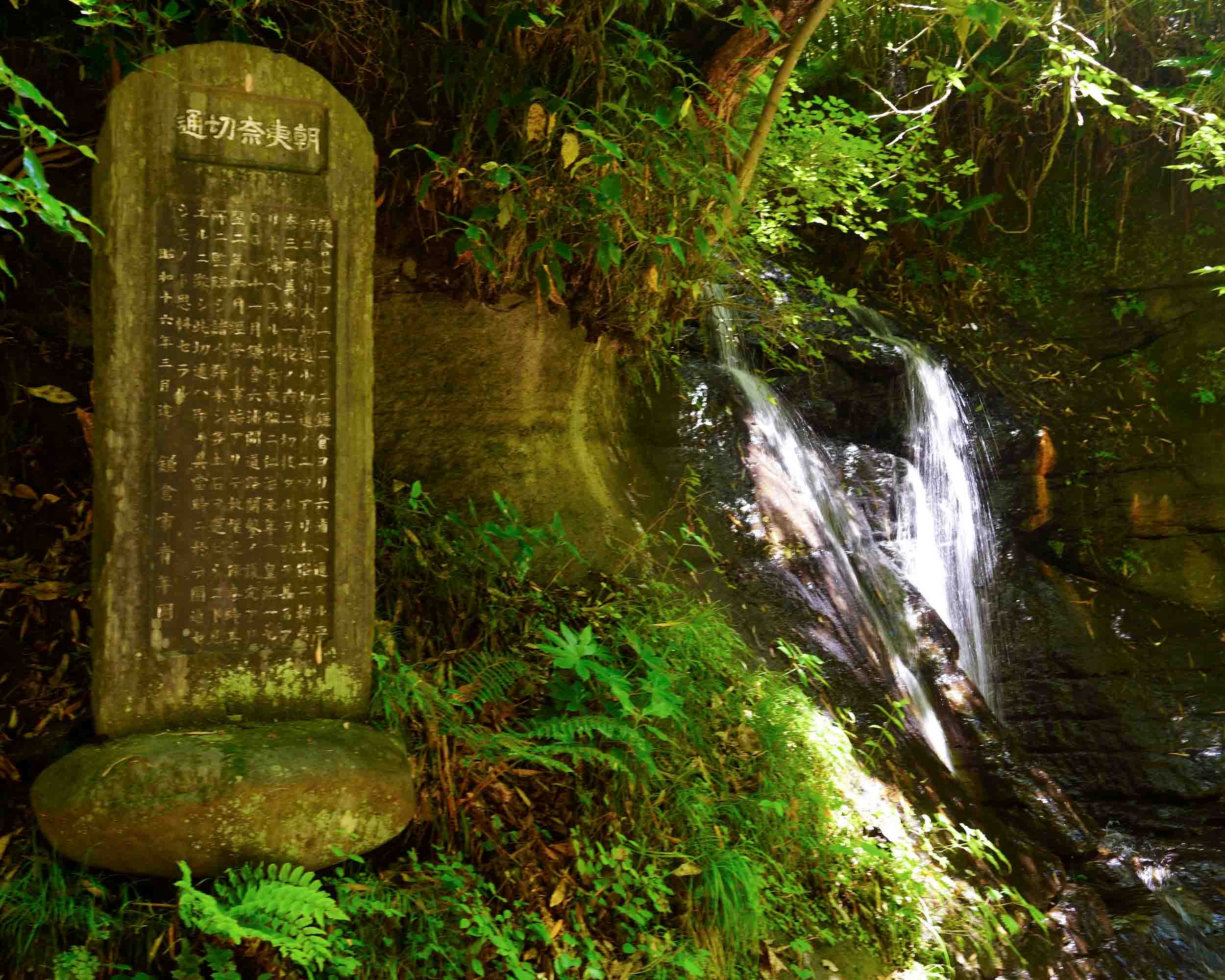
![]() 00:13 Saburo Falls
00:13 Saburo Falls
(Saburou no taki)
Wet mountain road
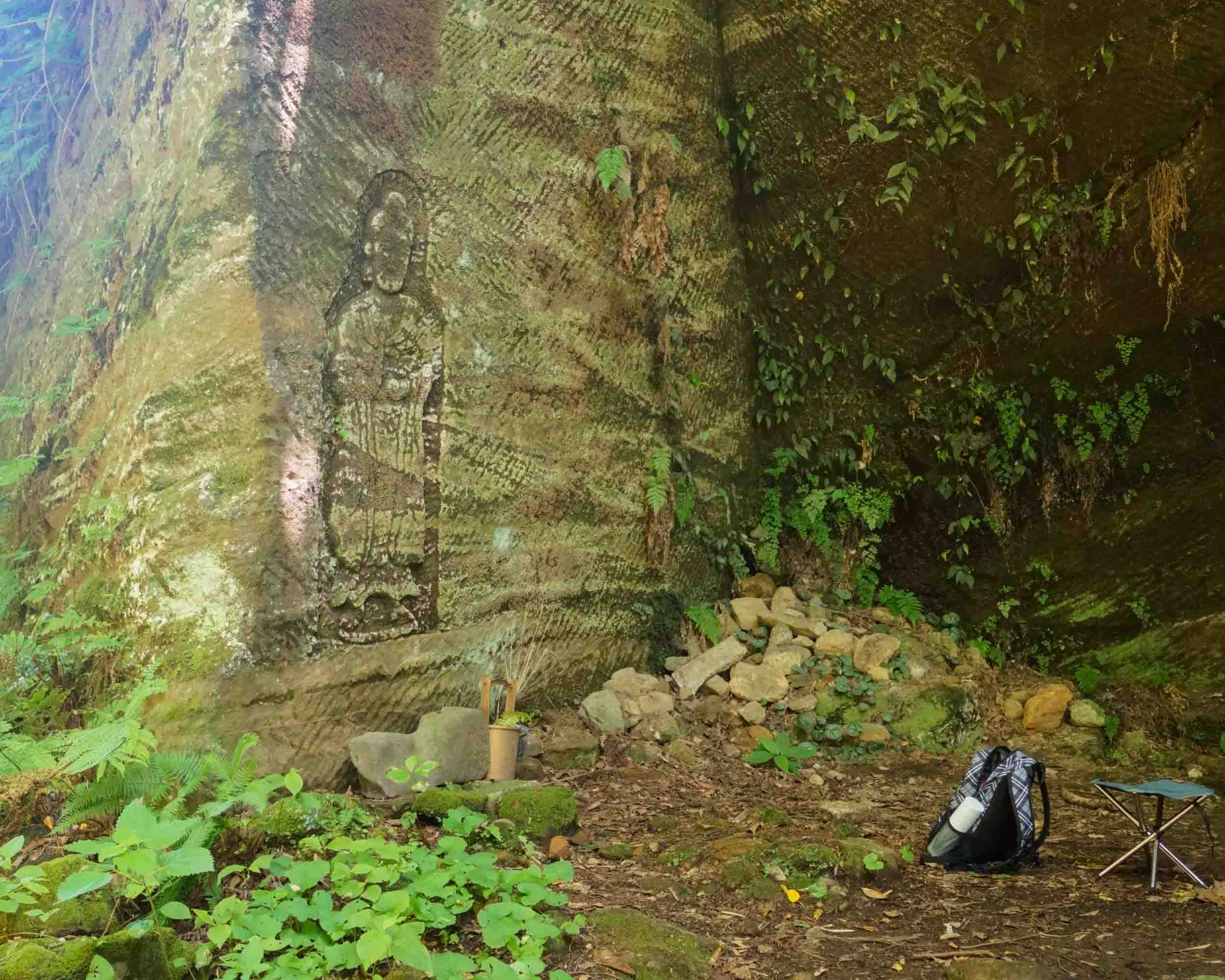
![]() 00:23 Important passage
00:23 Important passage
Rocky mountain road covered with ferns
00:25 Kumano Shrine (Kumano) junction
Cedar forest and bush ginger colony path
![]() 00:35 Kumano Shrine
00:35 Kumano Shrine
Cedar forest and bush ginger colony path
00:45 Kumano Shrine (Kumano) junction
Mountain road in cedar forest
00:50 Kogiridori
Mountain road between narrow cut walls
00:55 Asahina-side entrance
Paved road in residential area
01:00 Asahina bus stop
Before the start
(one’s) whereabouts
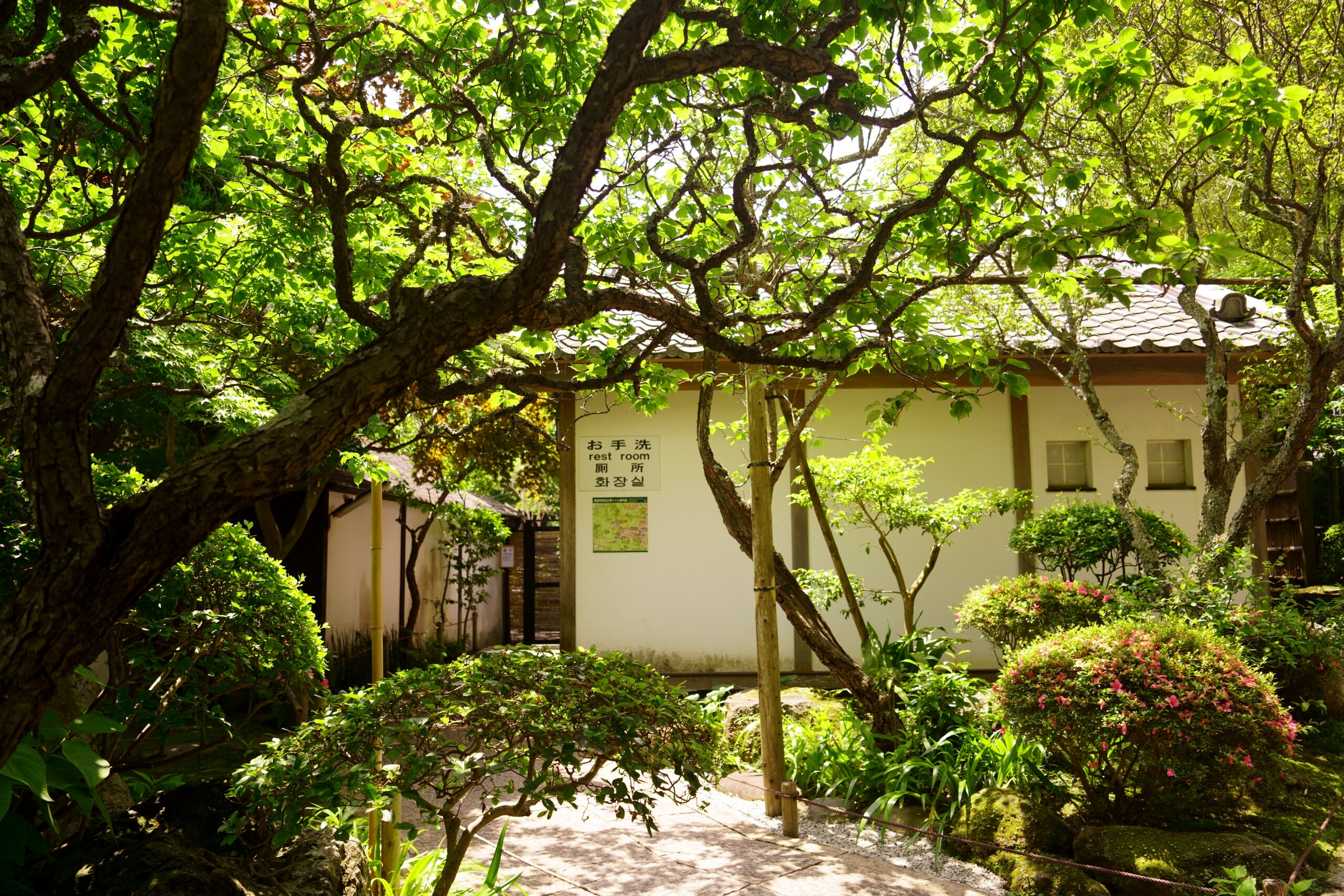
Check the restroom
Please note that there are no restrooms along the course or near the start/finish points.
See Toshi’s Kamakura Hiking Map for detailed locations of restrooms.
Packed lunches and beverages
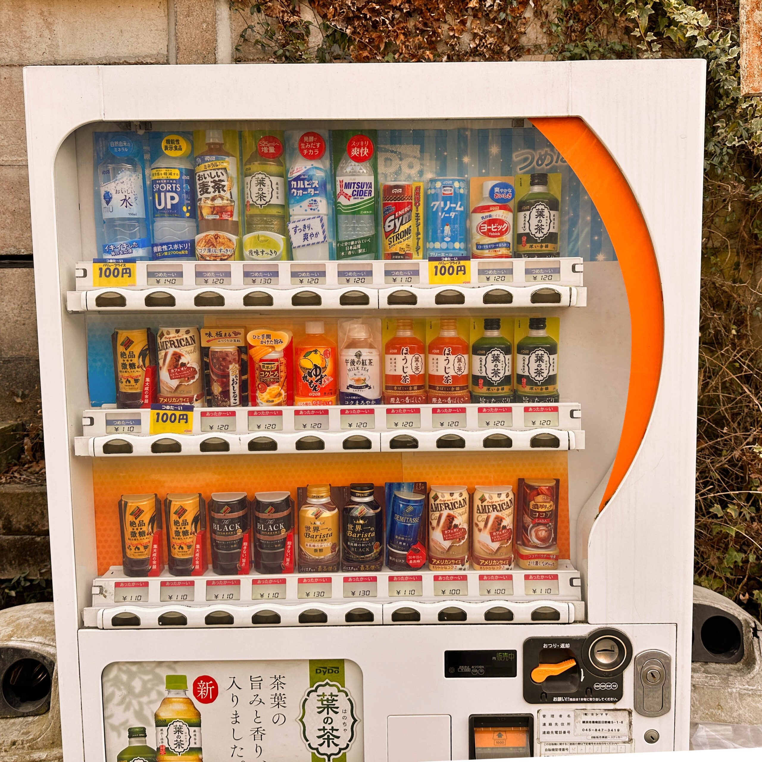
vending machine
There is not one in the middle of the course, but just one each at the start and finish of the course.
For information on nearby vending machines, see Toshi’s Kamakura Hiking Map
(The photo shows Vending Machine at the entrance on the Jujisho side.)
After the goal
Next course
I’m tired. I’m leaving.
- Yokohama side exit to JR Kamakura Station
- From the exit on Yokohama side To Villa Kamakura
- From the exit on the Yokohama side To Yuigahama Senzei
- From the Kamakura side entrance to JR Kamakura Station
- From the entrance on the Kamakura side To Yuigahama Chisei
- From the entrance on the Kamakura side To Villa Kamakura
breaking one’s journey
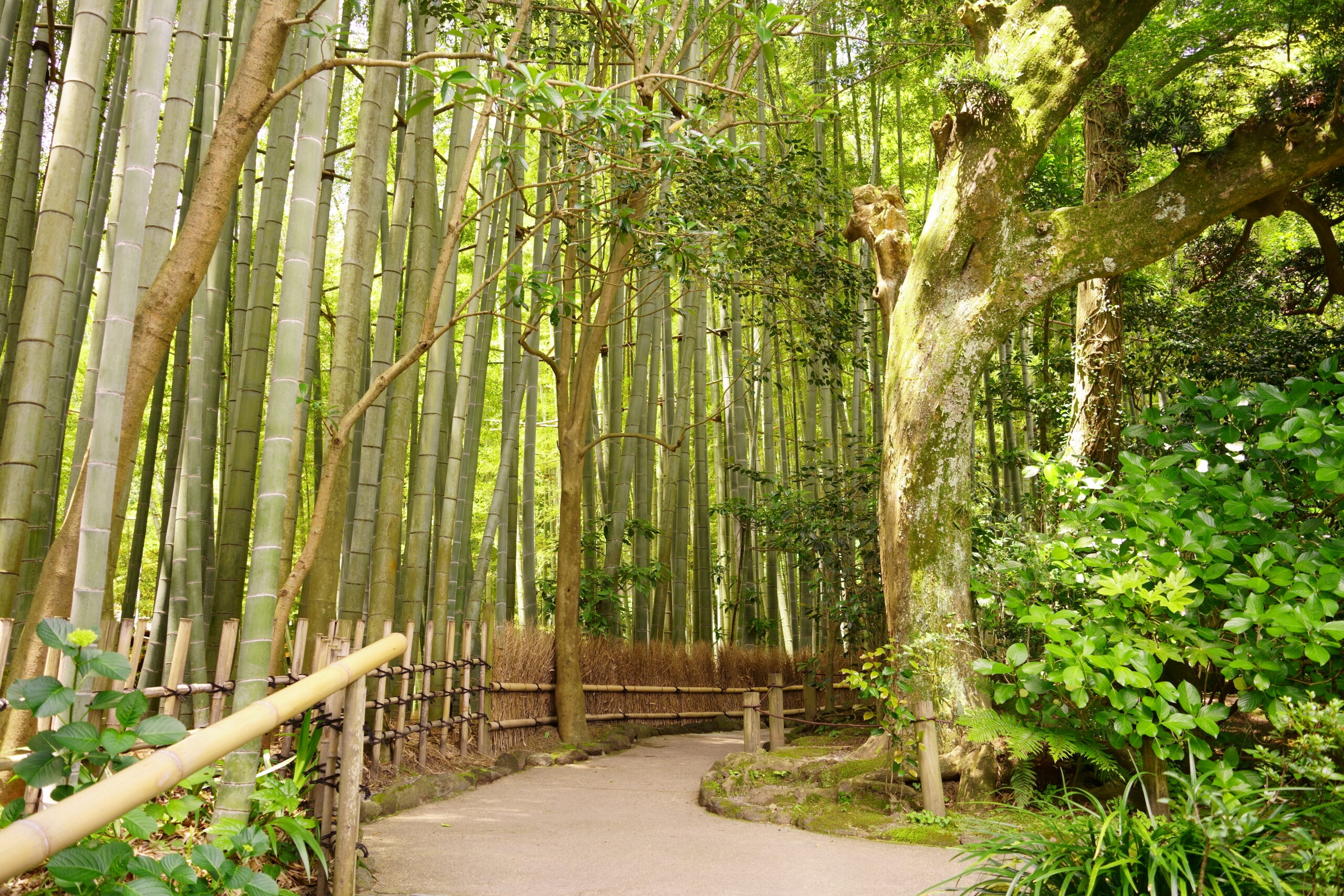
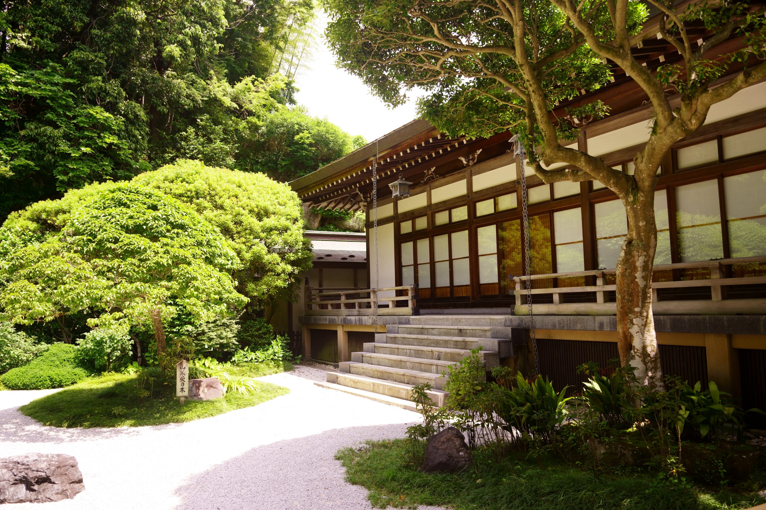
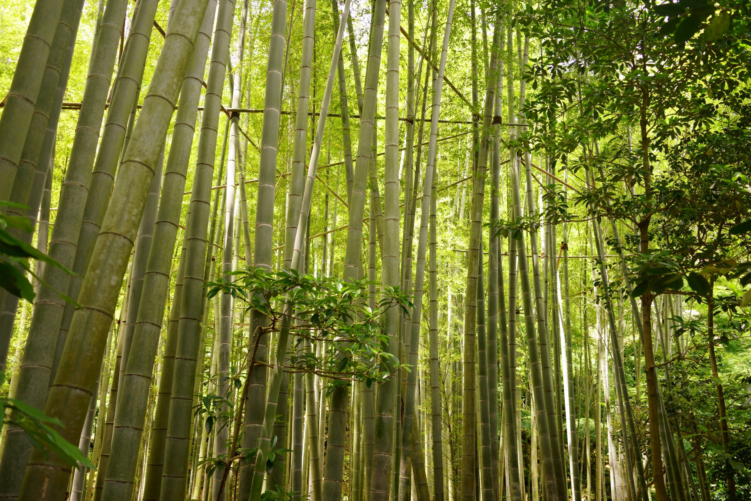
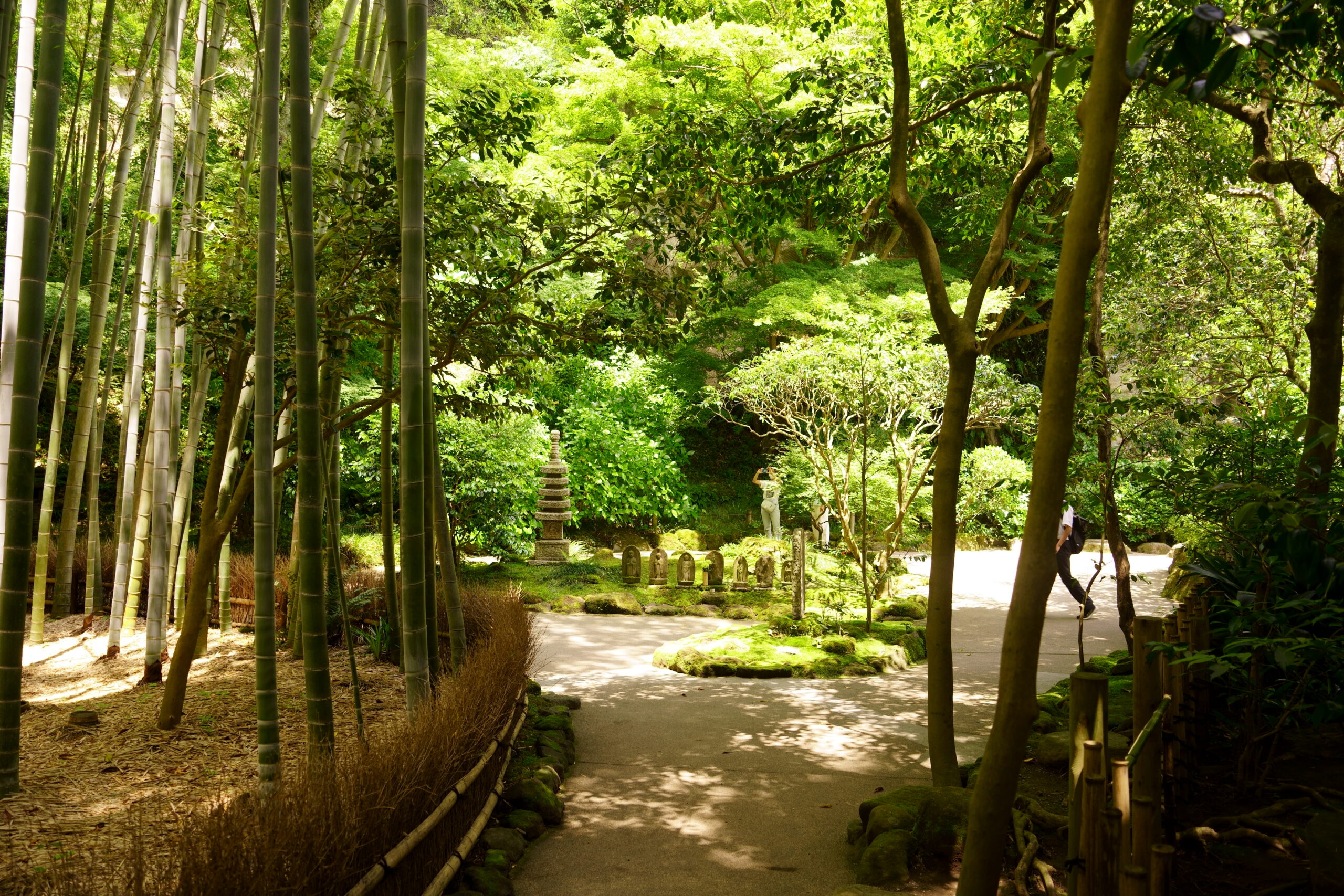
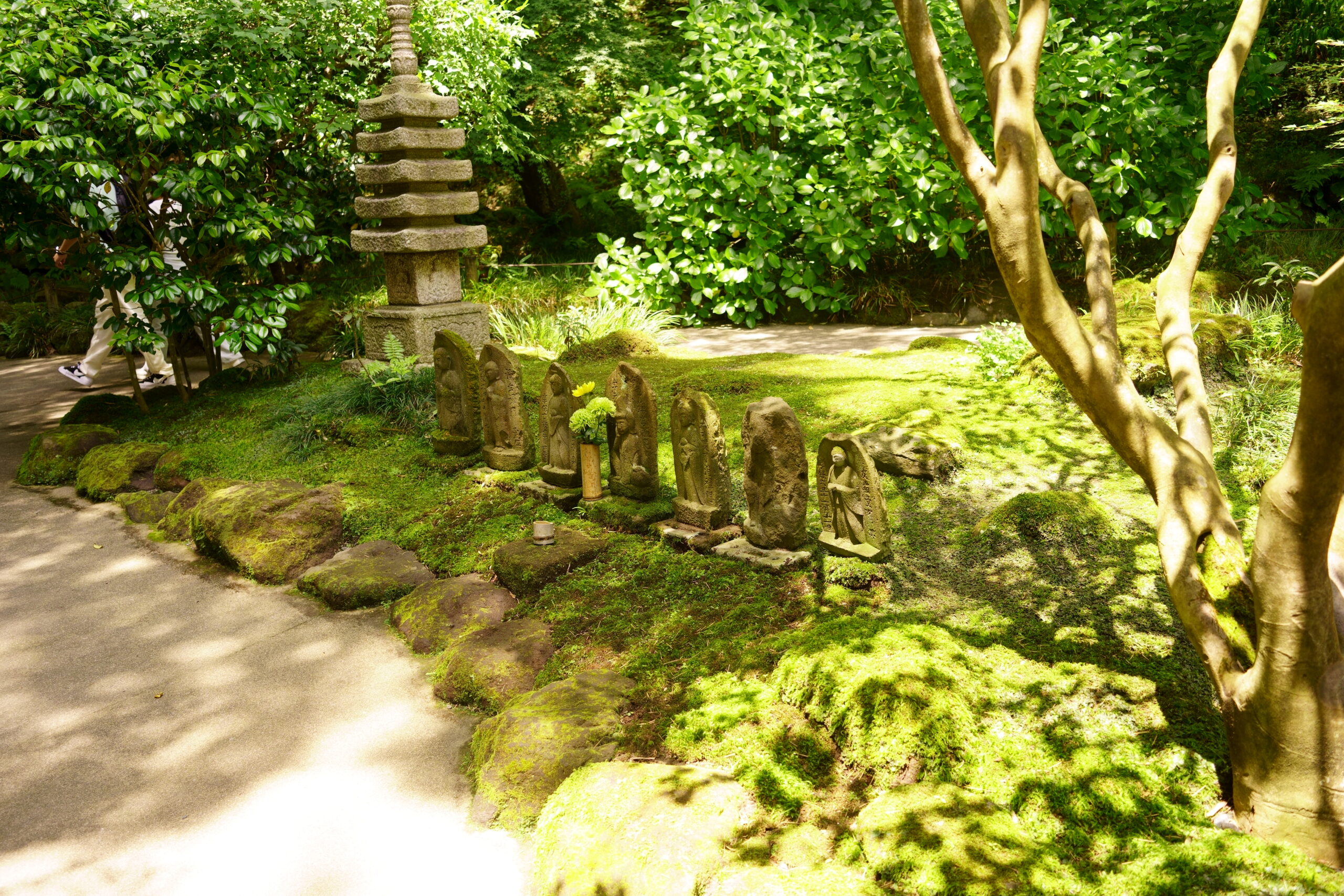
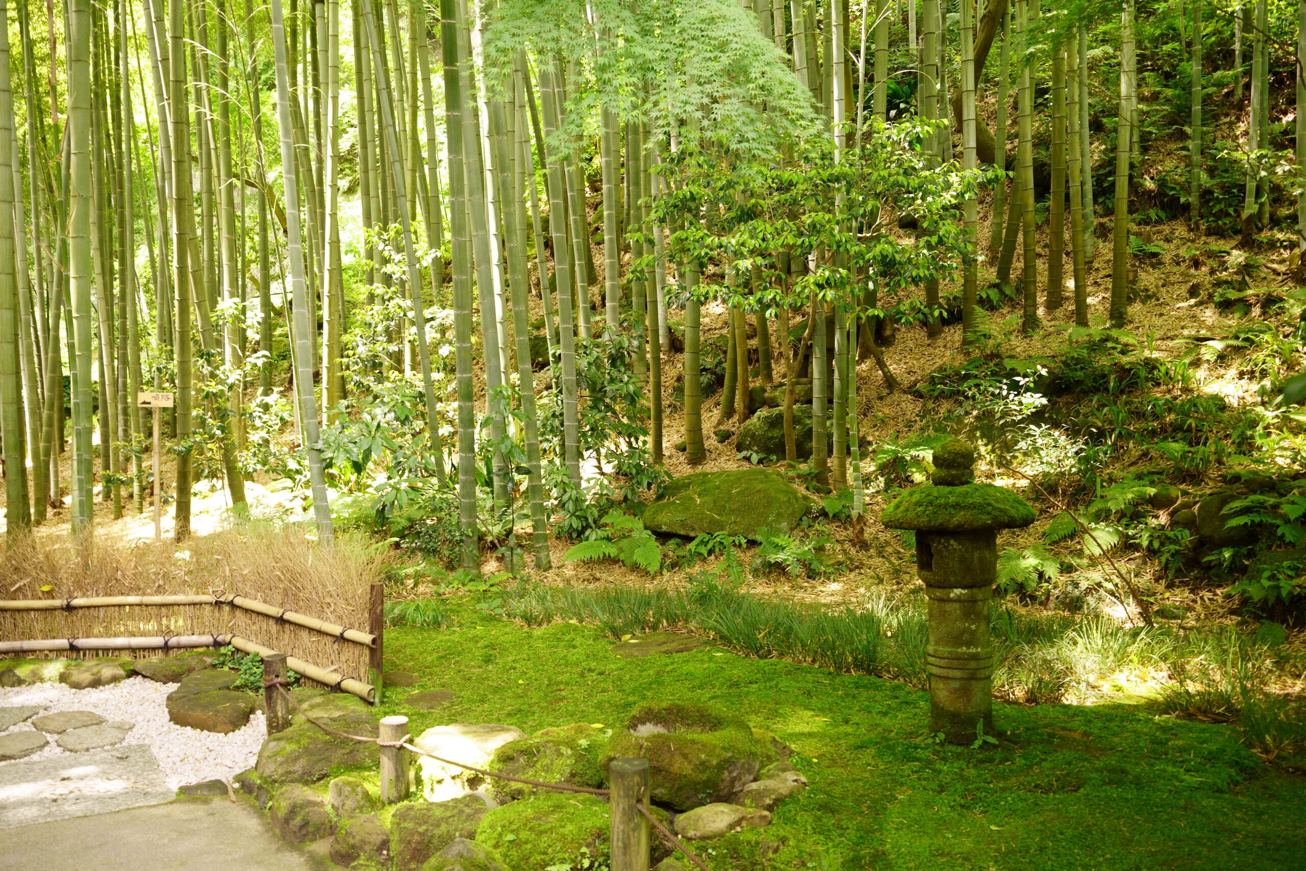
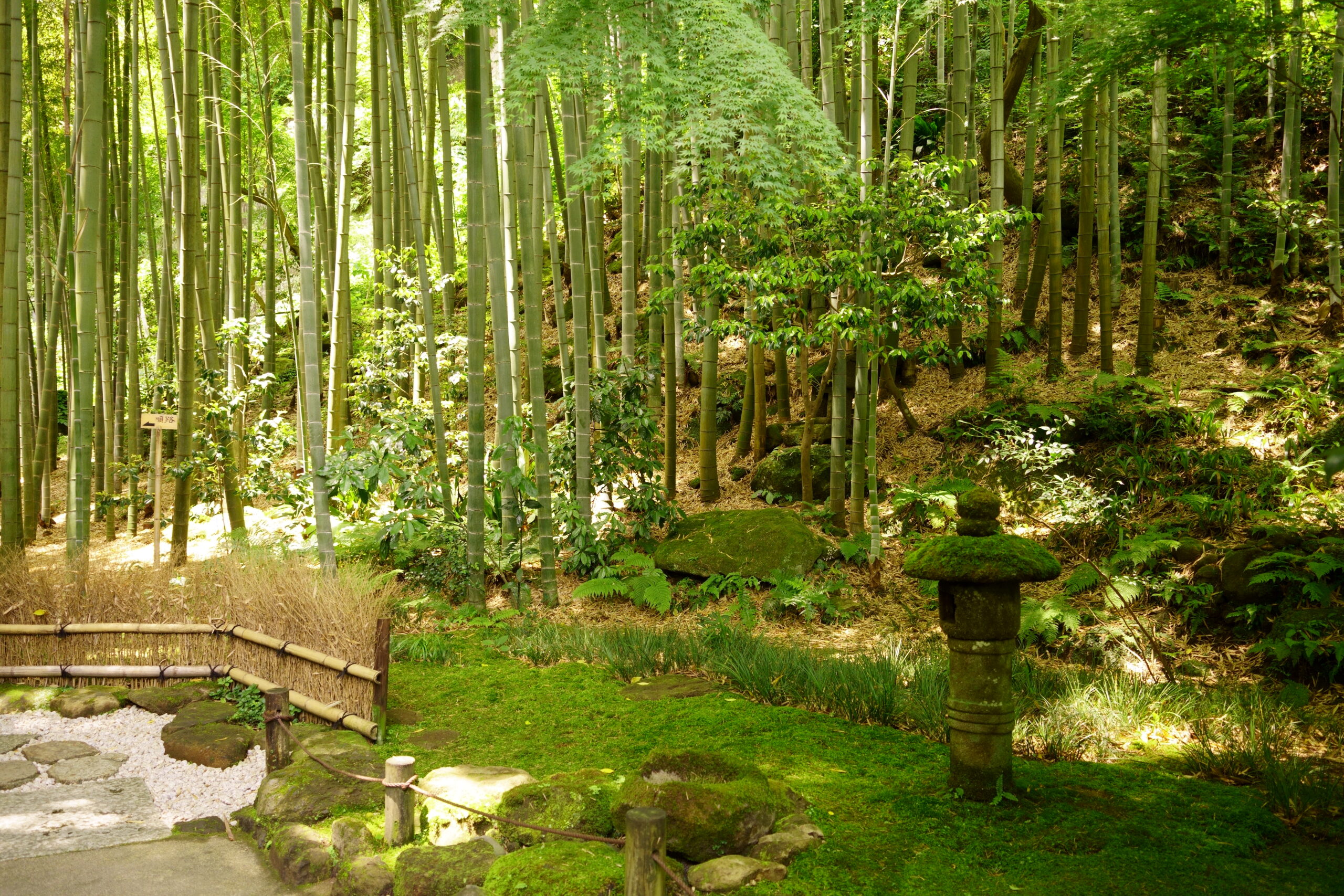
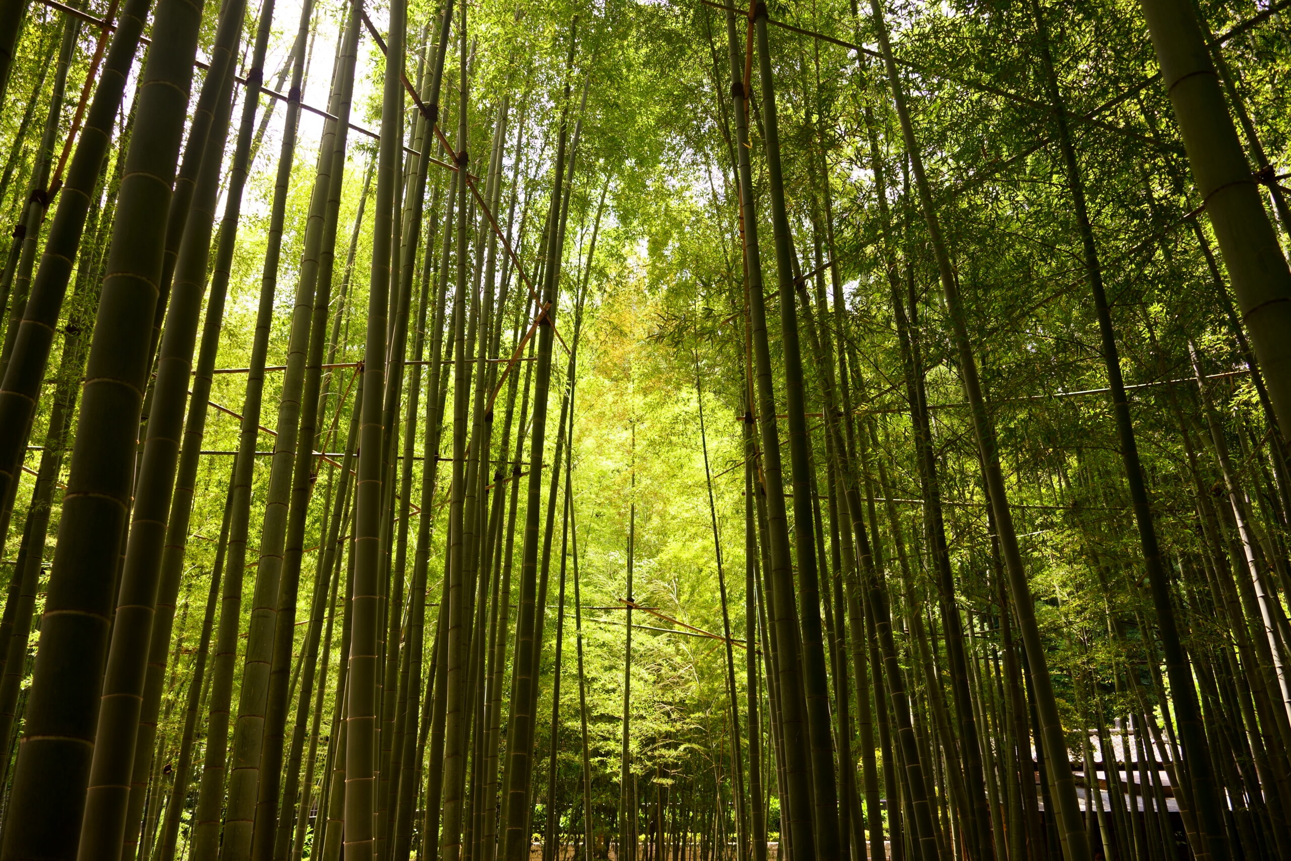
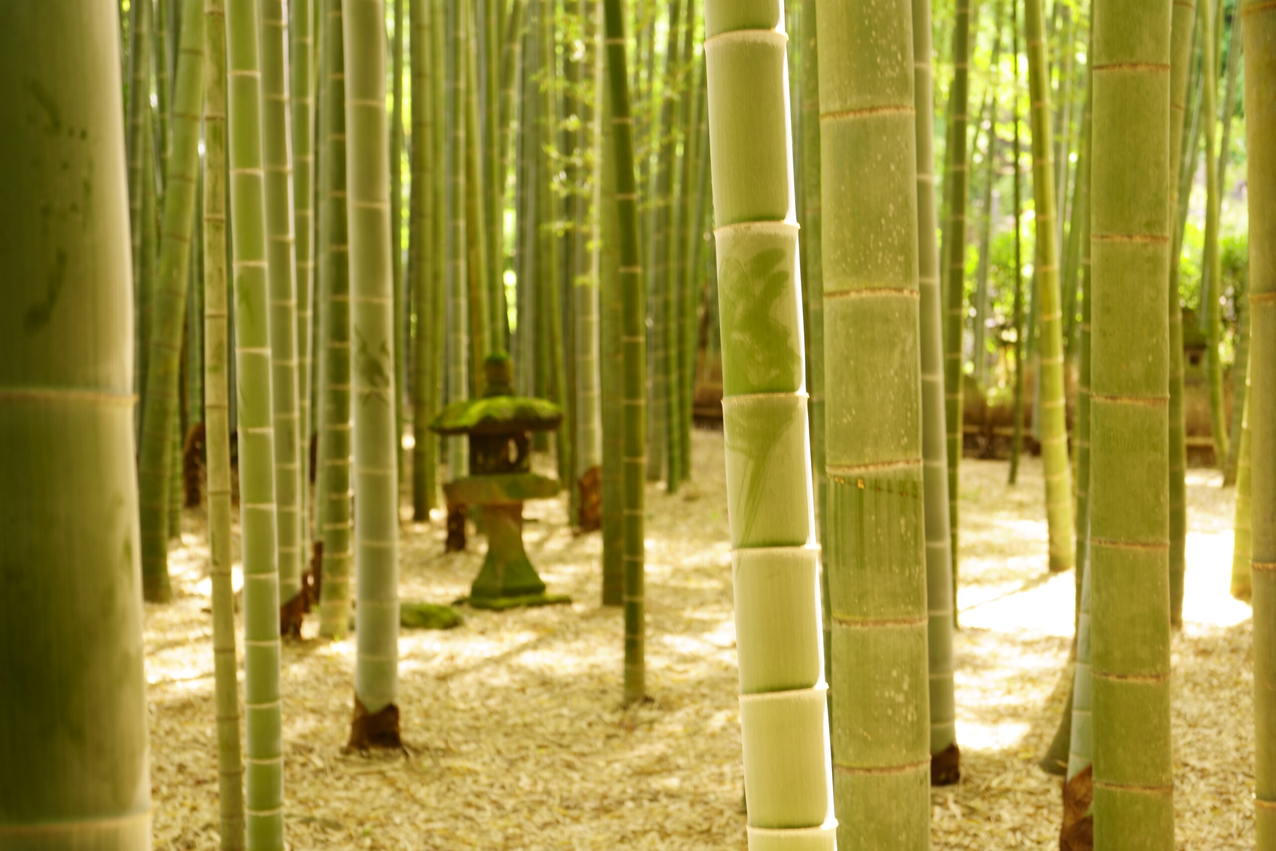
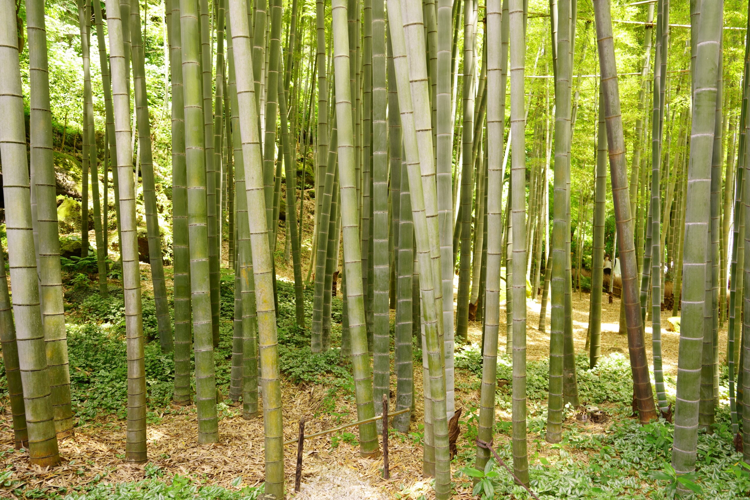
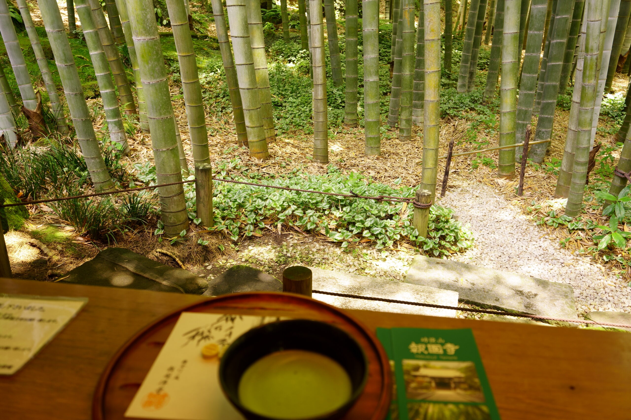
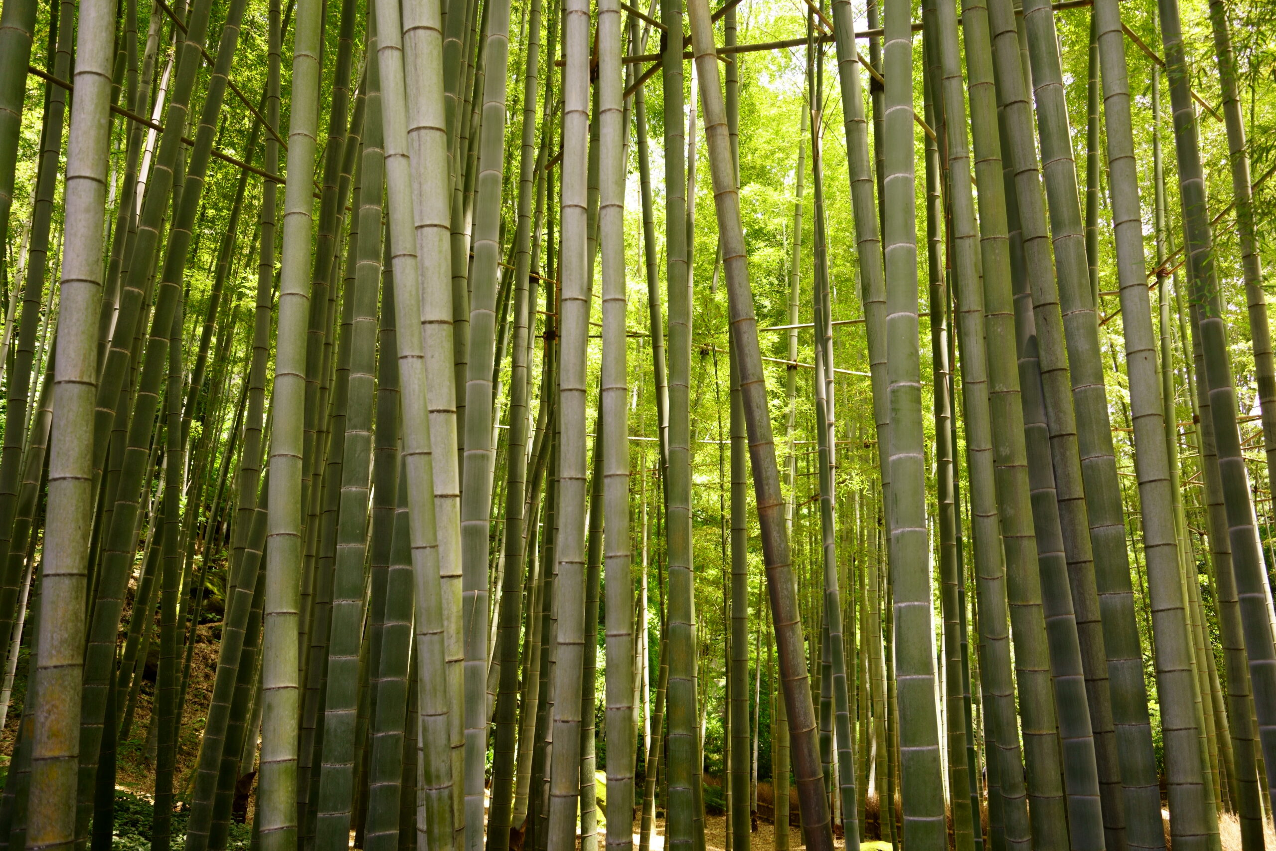
Enjoy Bamboo Temple and Matcha Tea
It is just right for calming down after a long day of hiking.
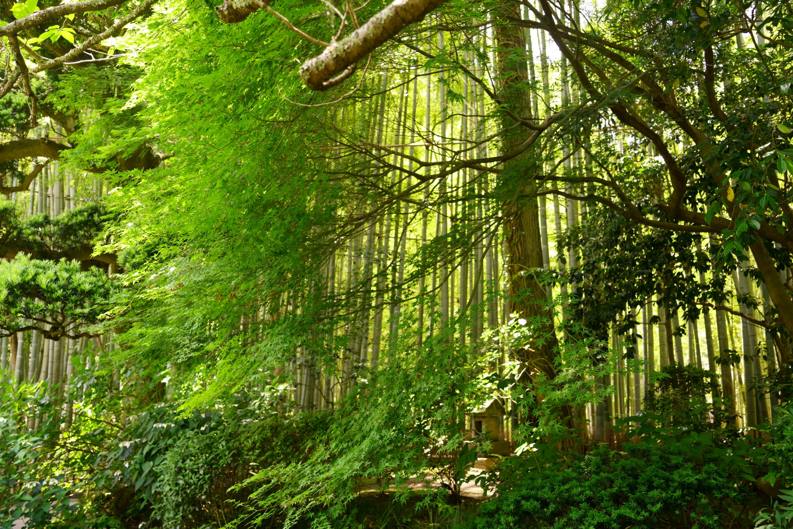
There is nothing better than enjoying sweet sweets and green powdered tea with a cool breeze blowing through the bamboo grove.
