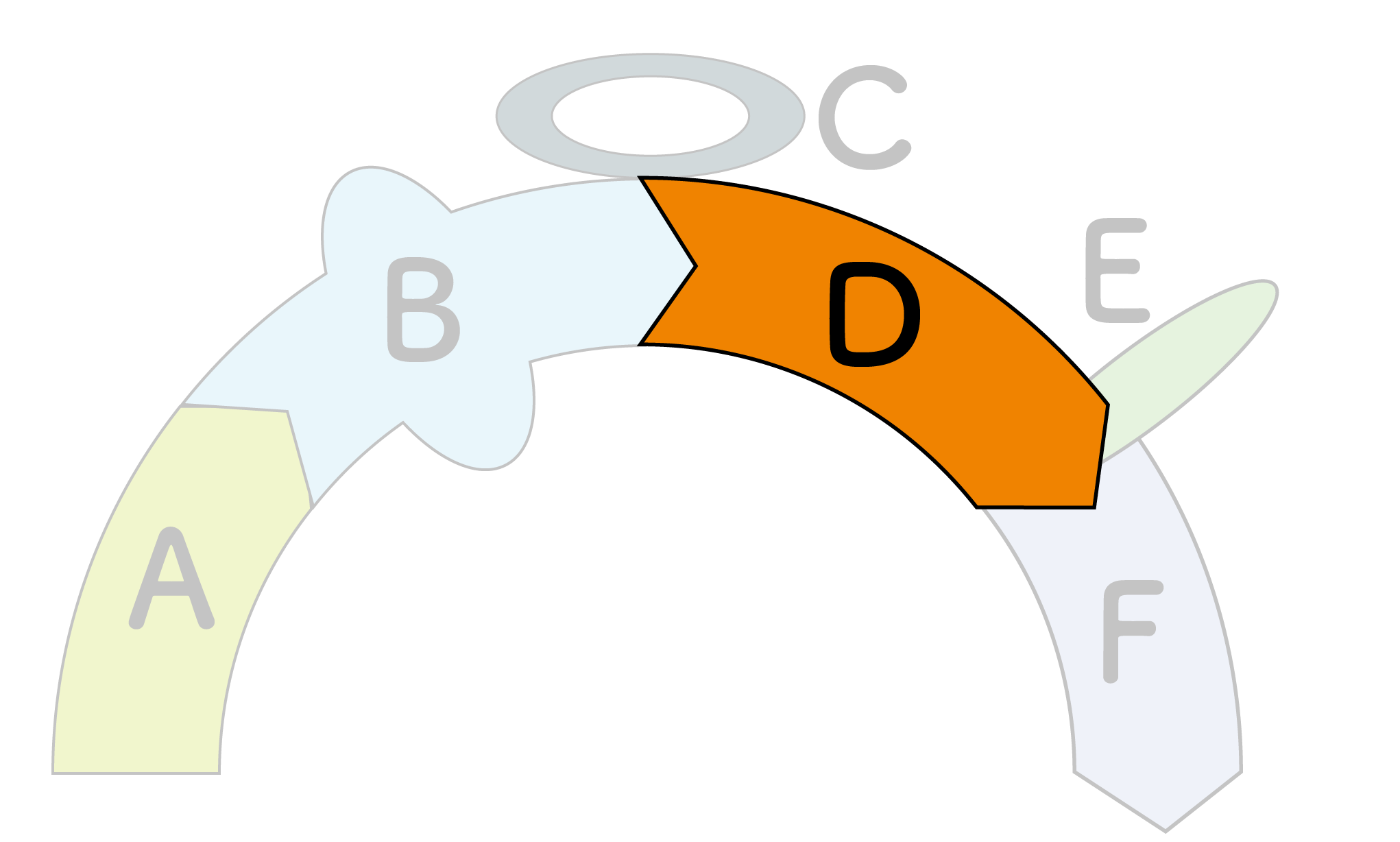
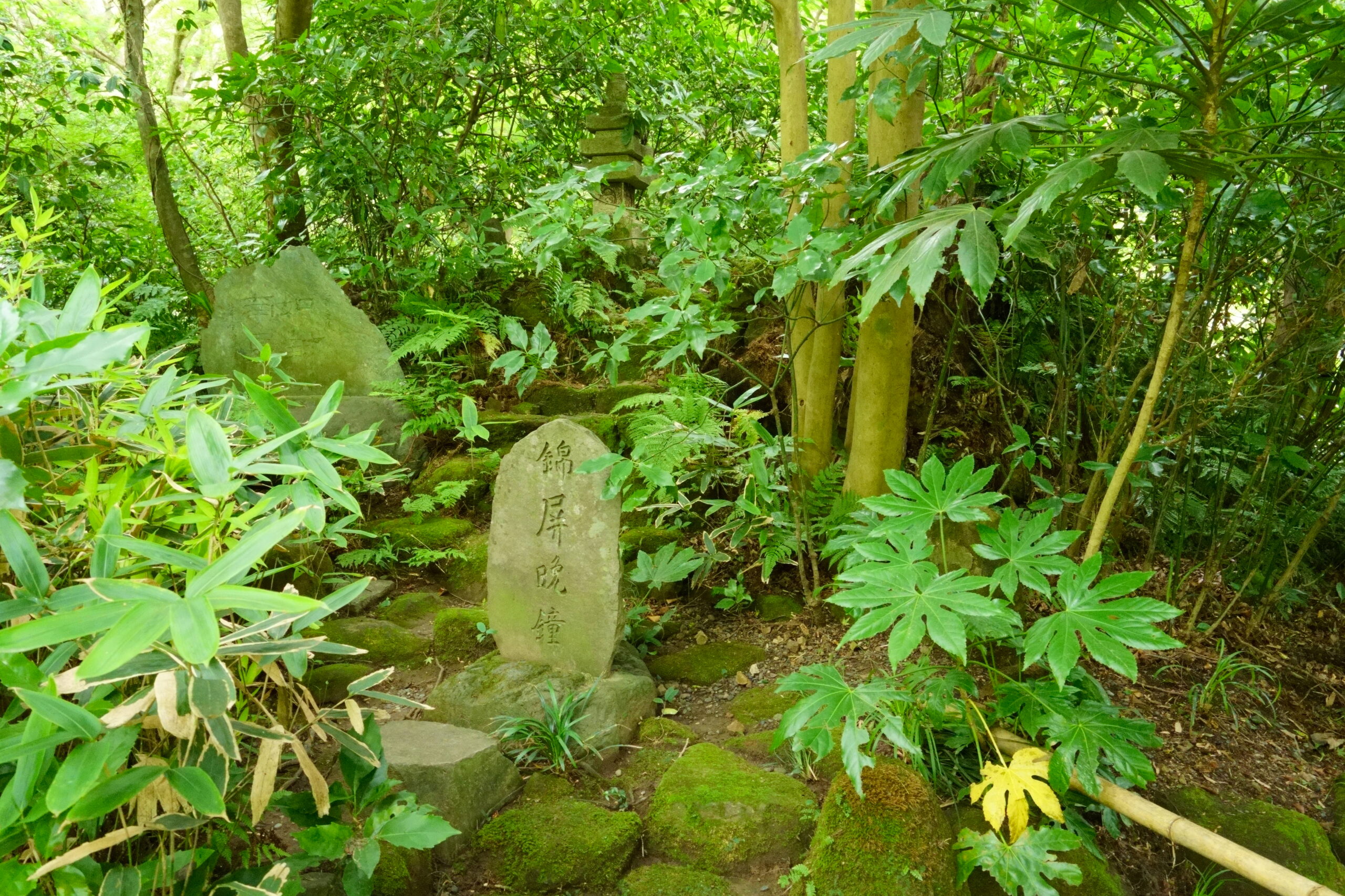
Course D
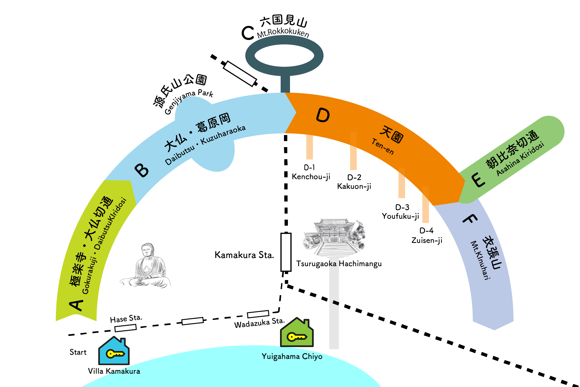
Ten-en
Ten-en
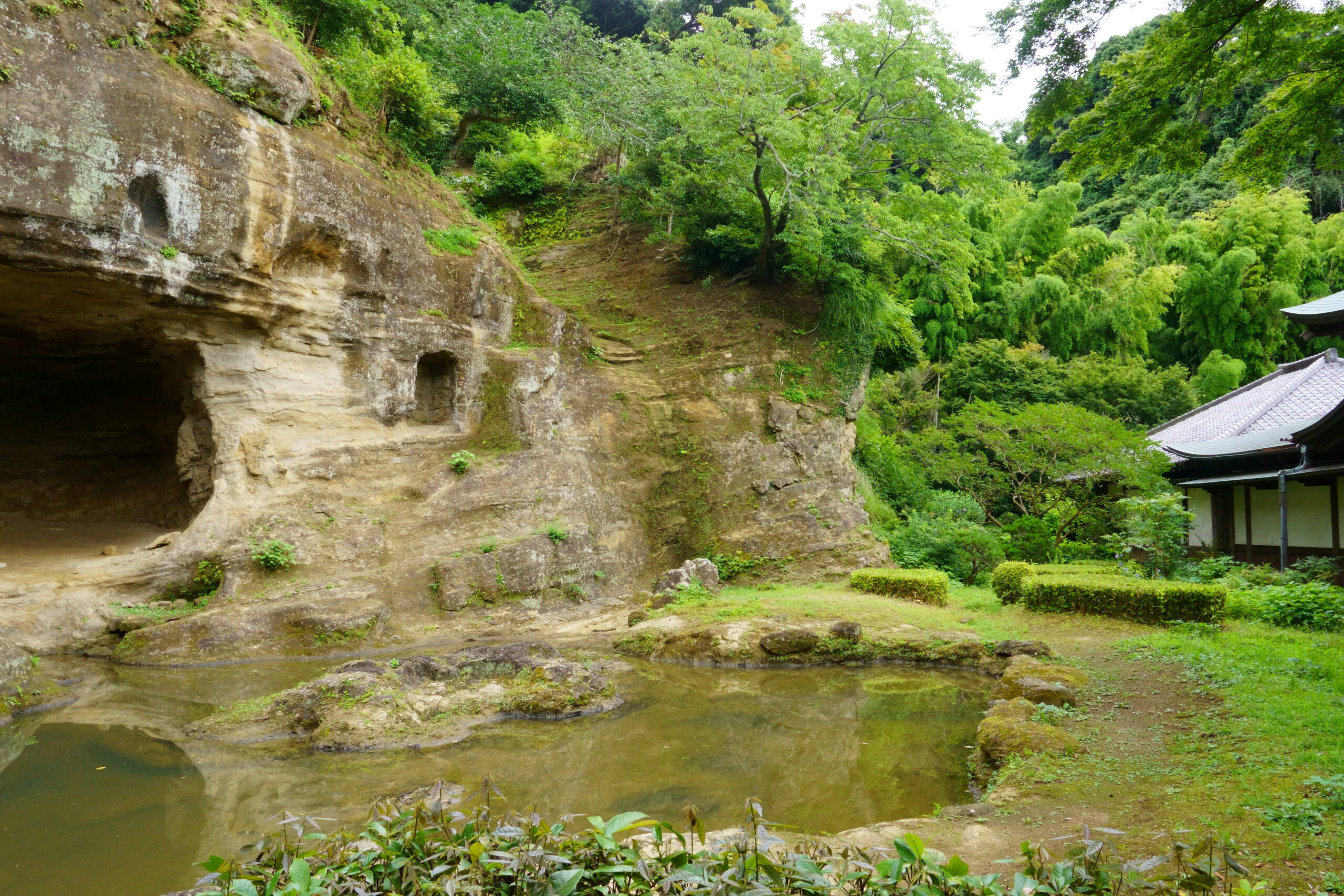
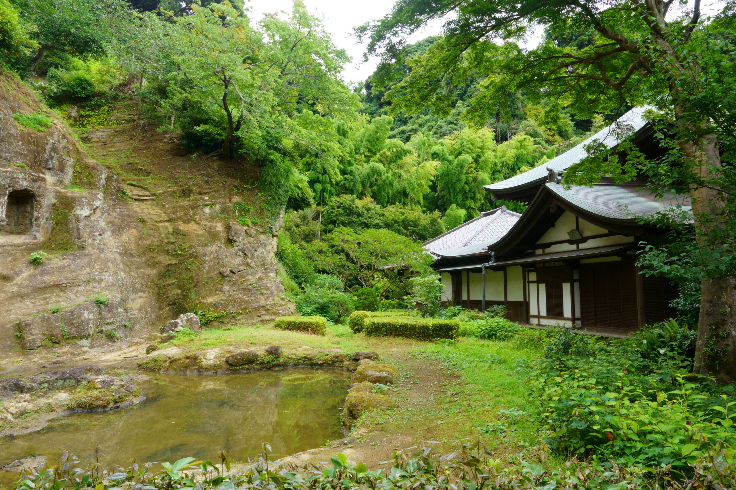
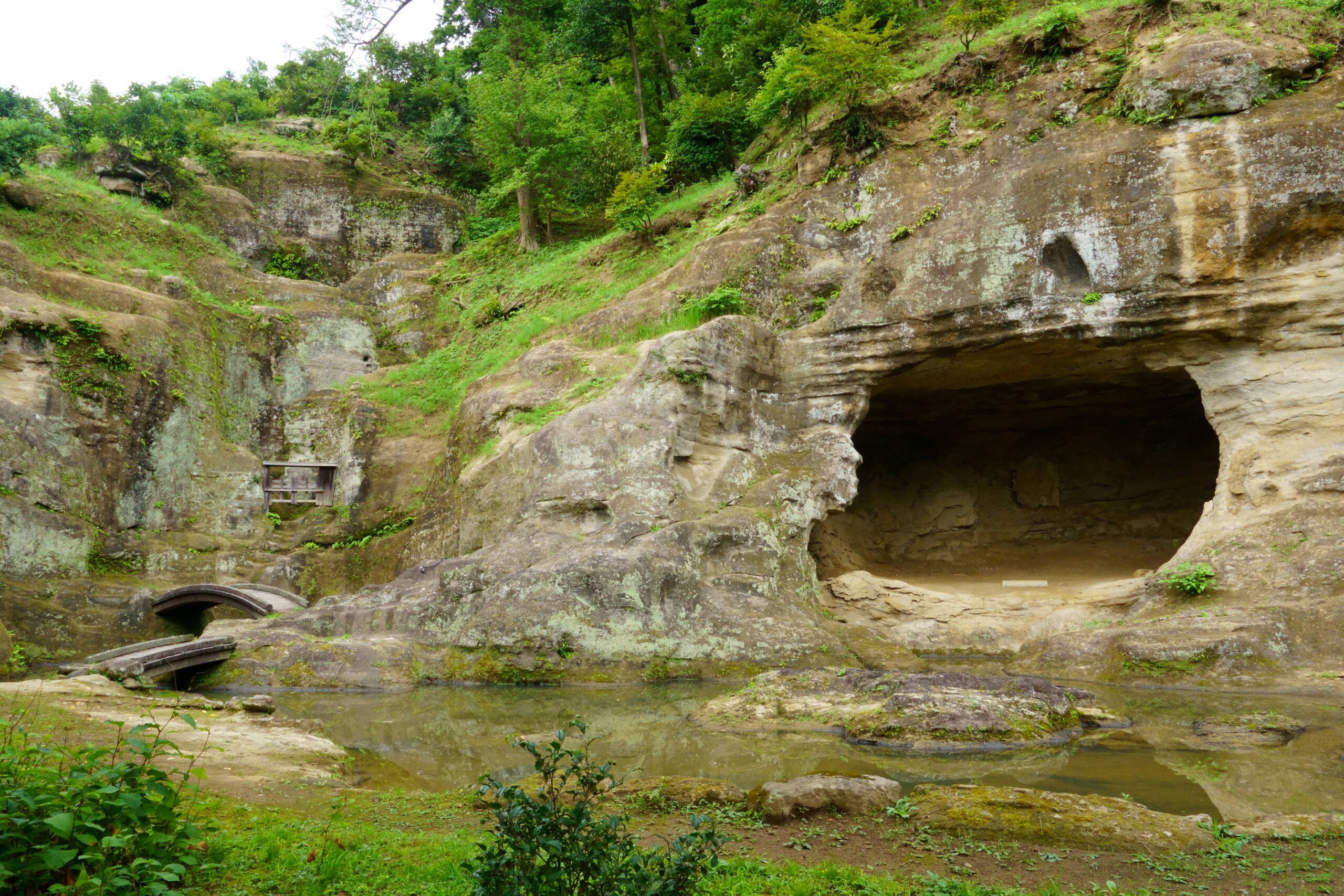
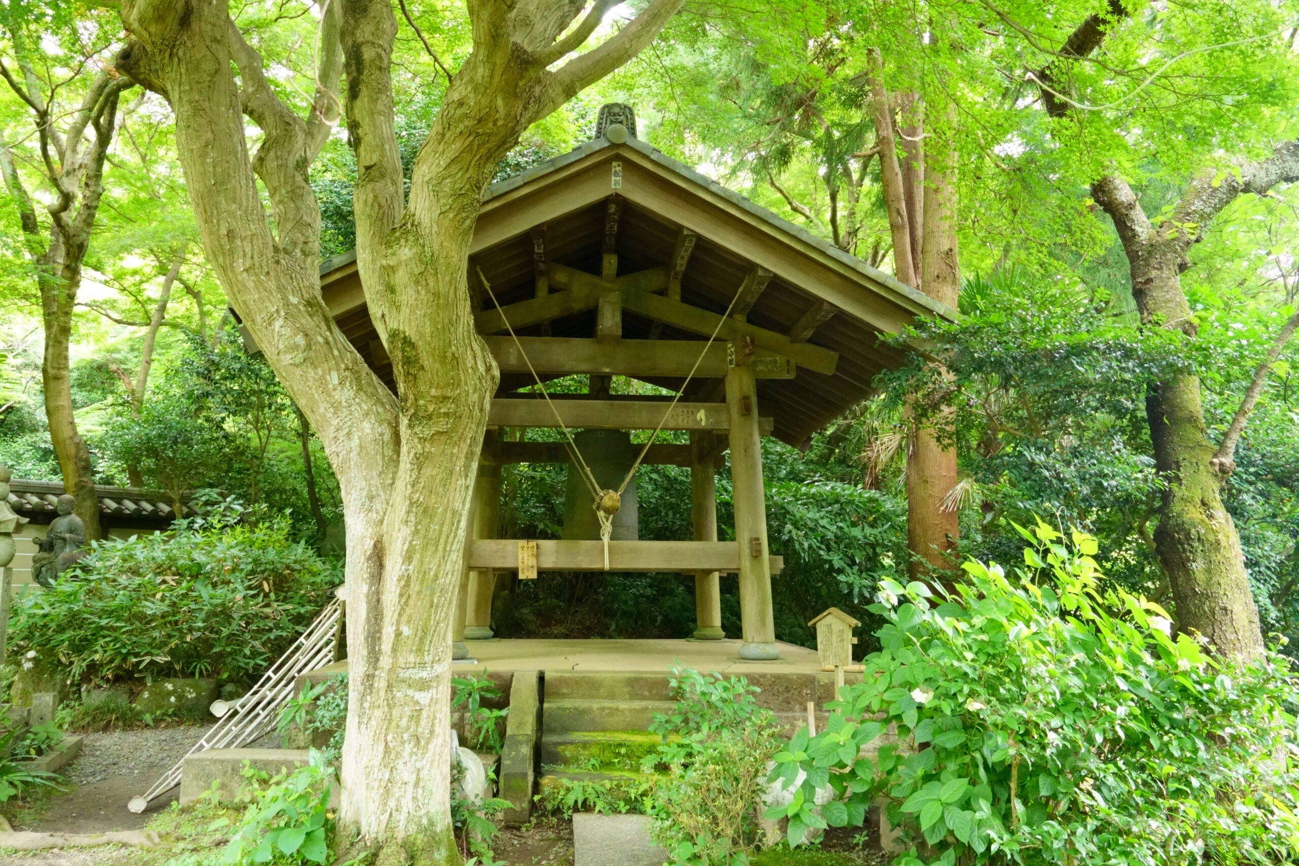
Enjoy the Kamakura Alps.
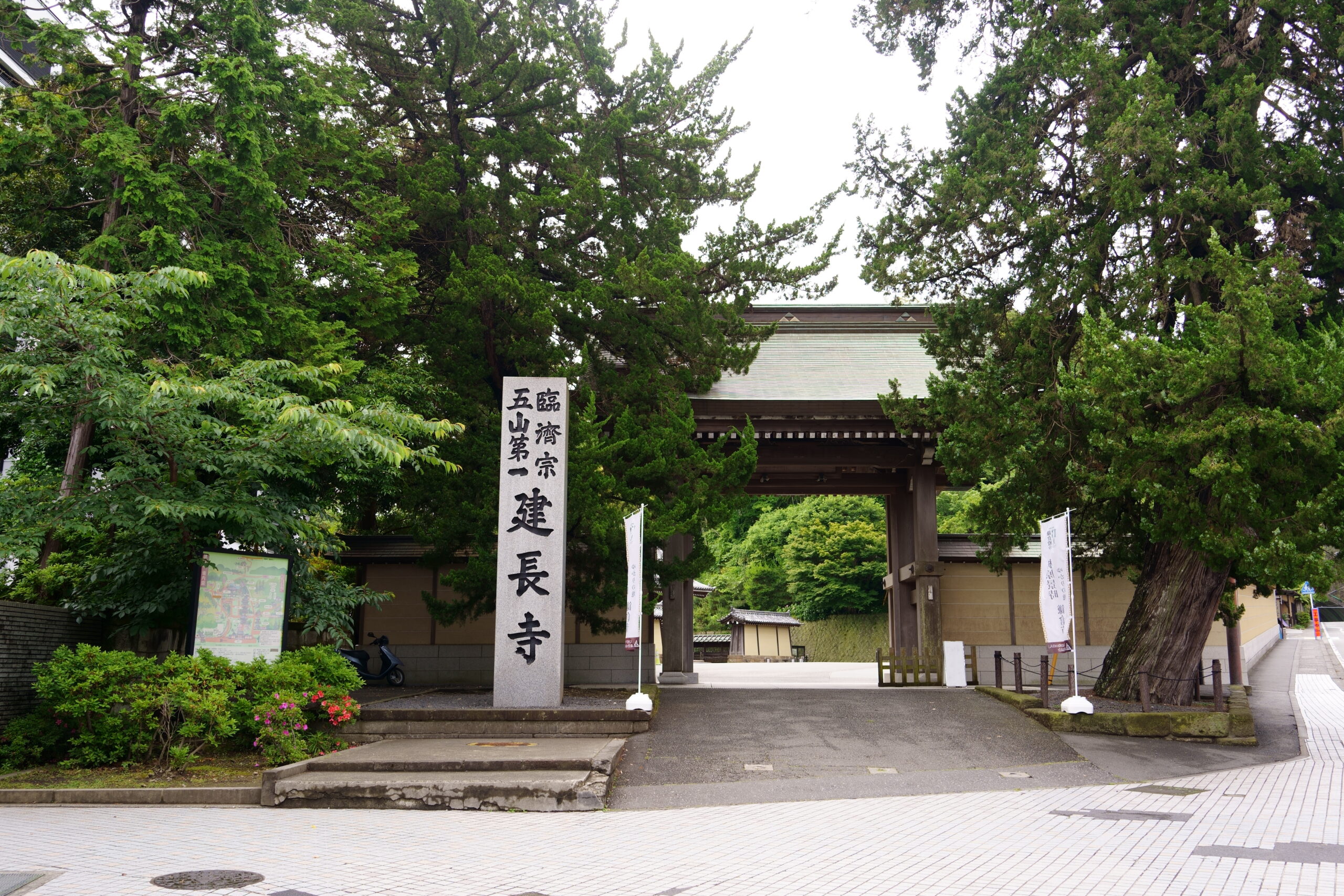
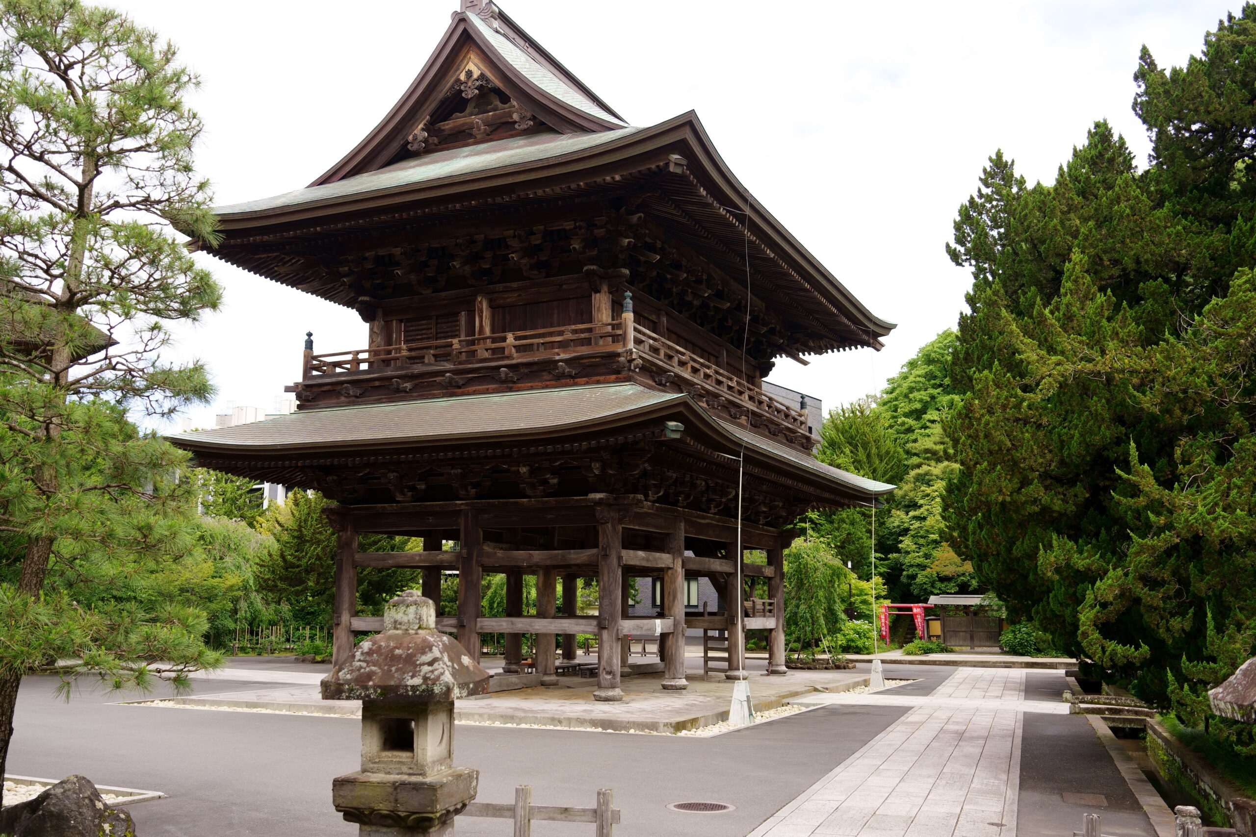
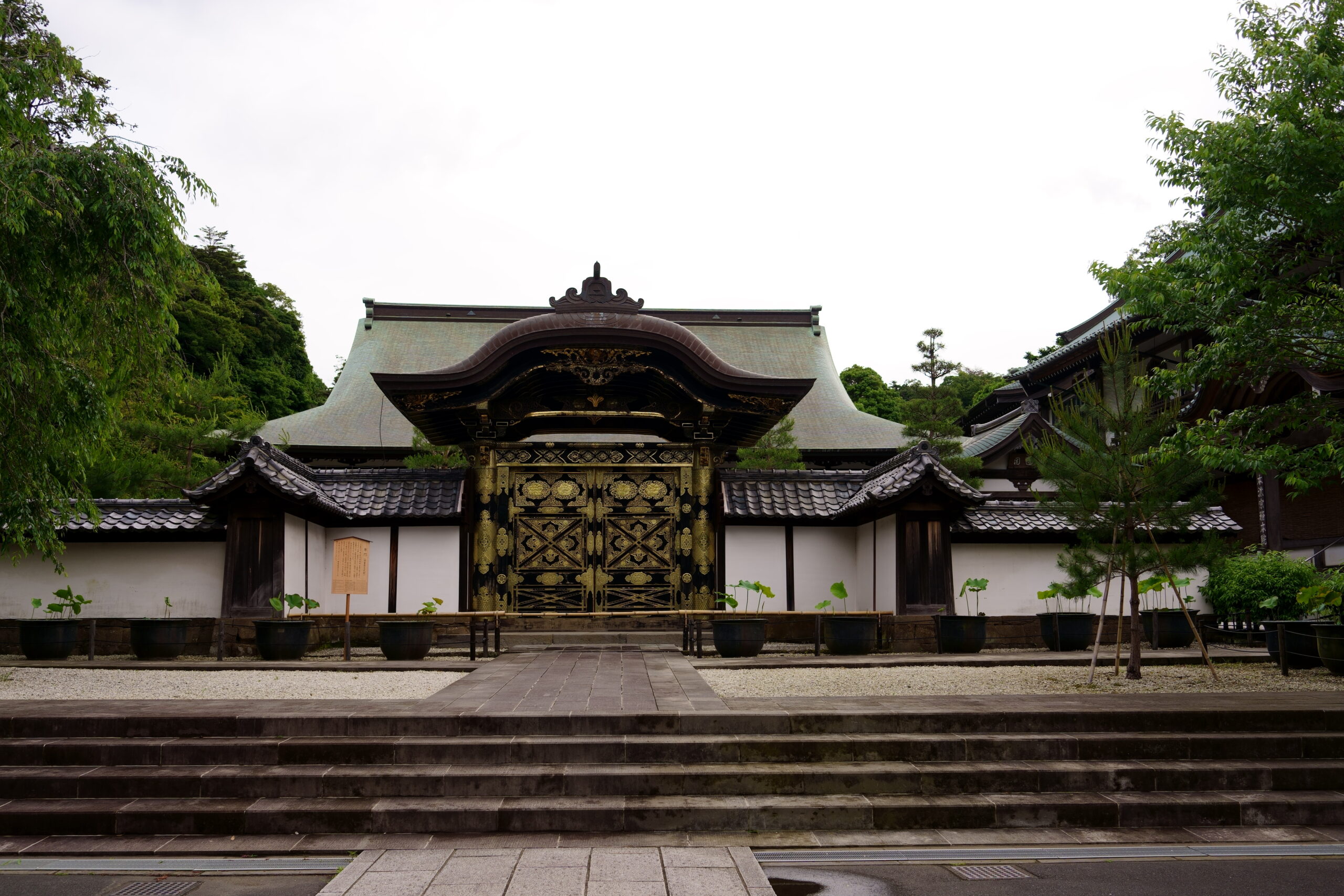
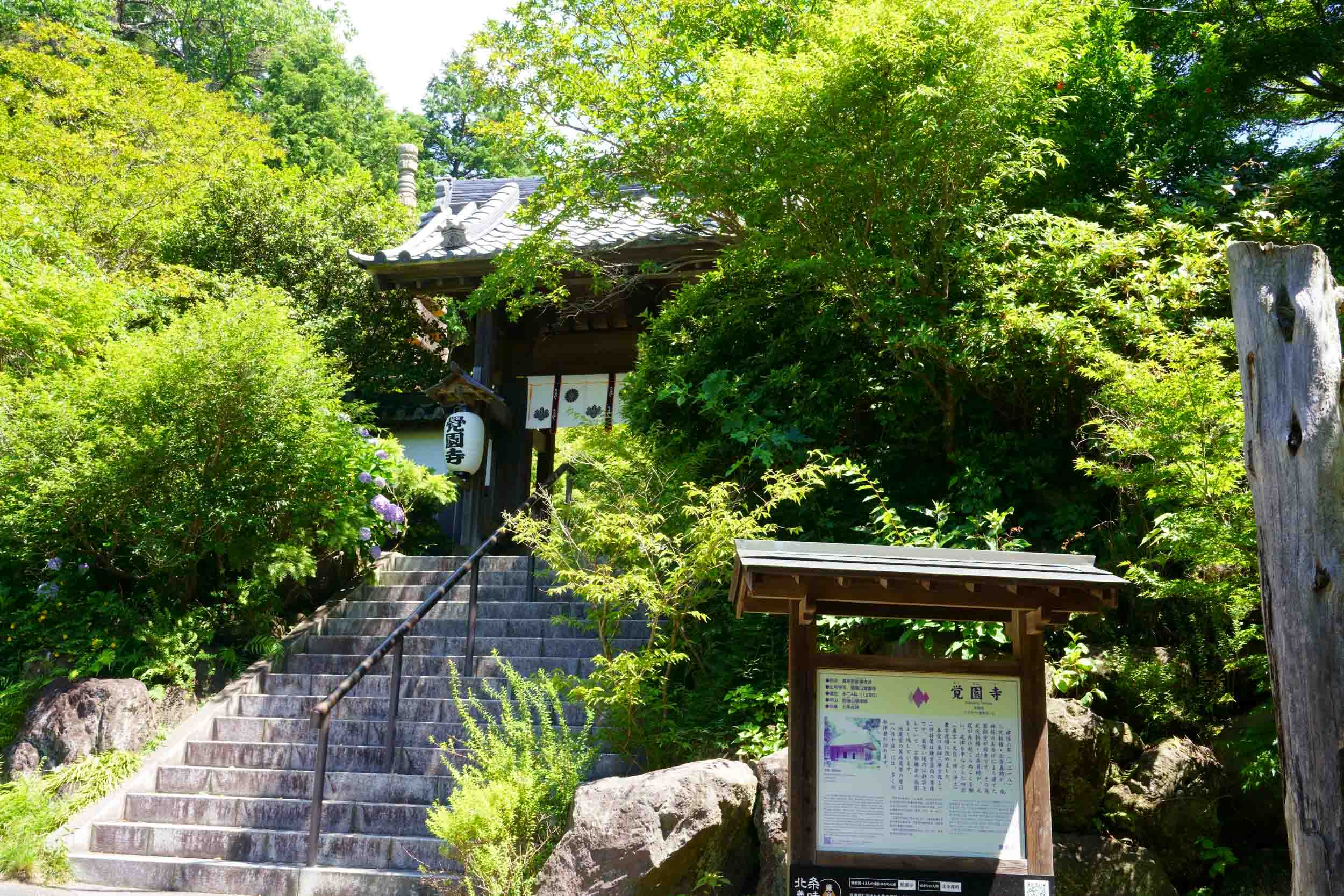
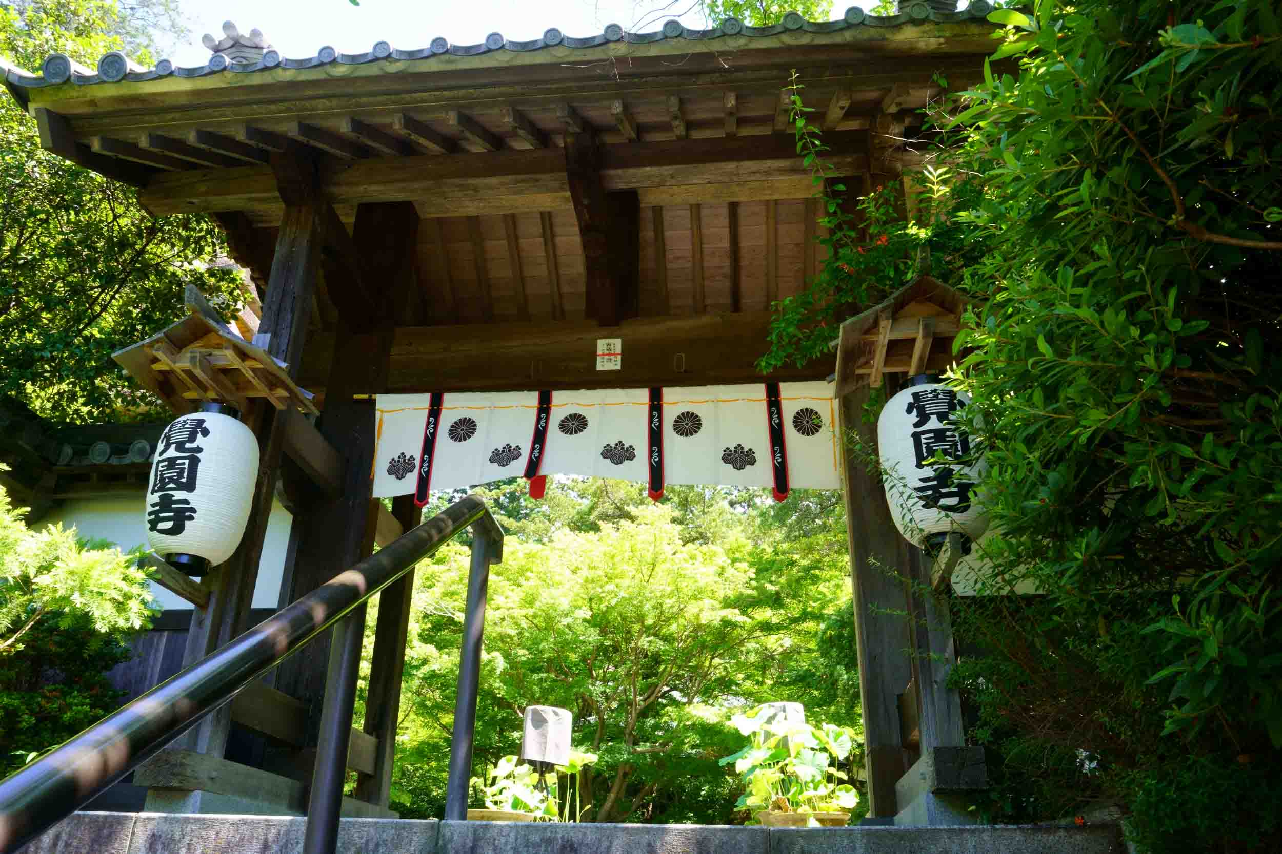
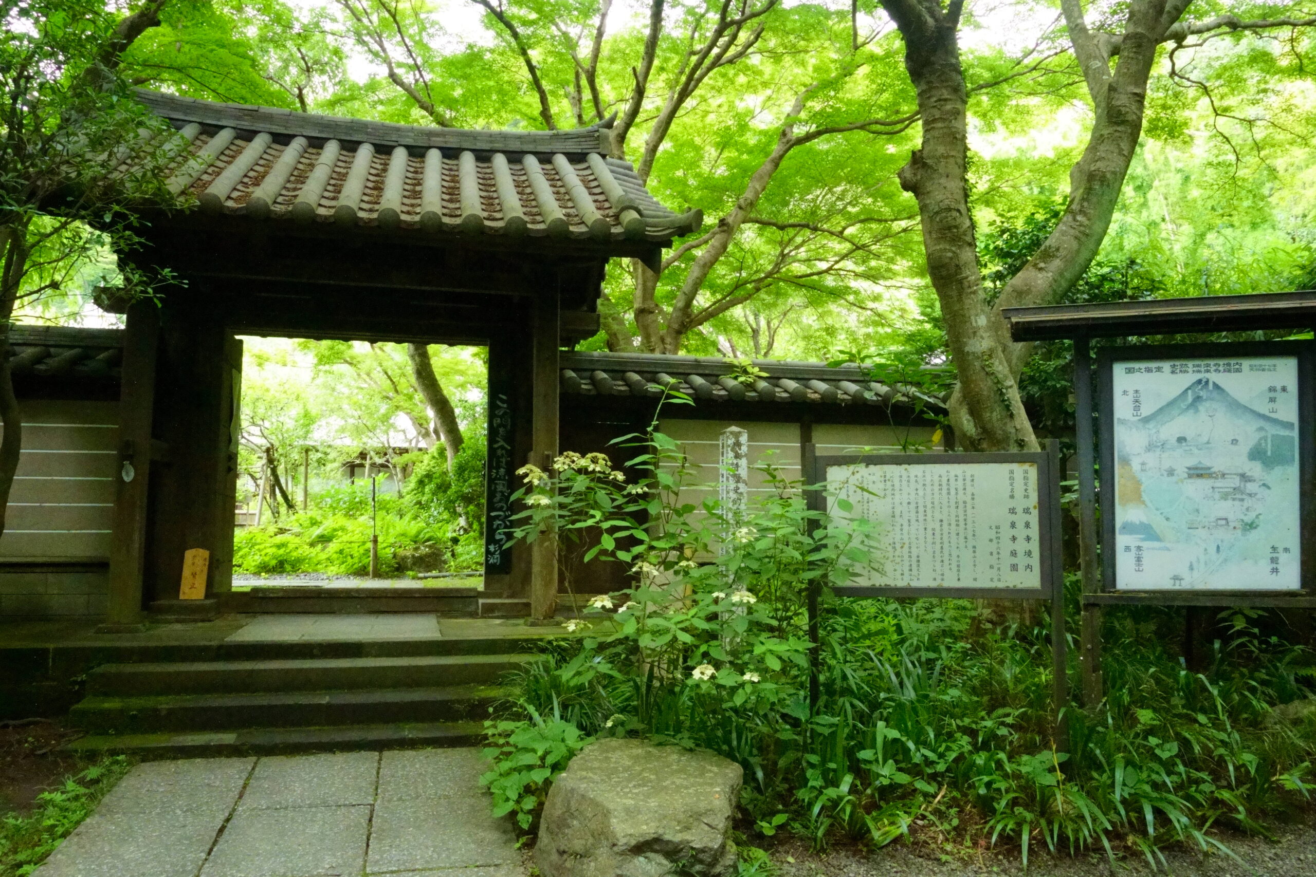
The course offers multiple entrances from the Imaizumi or Myogetsuin Exit, and from famous temples such as Zuisenji, Kenchoji, Kakuenji, and Kamakura Palace.
If you have the energy to traverse the Kamakura Alps, you can combine the trip with a trip to Mt.
Although the distance is long, the hiking trail is well maintained.
general process
Please check Toshi’s Kamakura Hiking Map for detailed directions and conditions.
The beginning number matches the number of the map in question.
The Tenen Hiking Course follows the ridges of the northern mountains known as the Kamakura Alps.
By combining entrances and exits according to distance and time, you can enjoy a different course with different atmospheres in each season. This is the royal road of hiking courses in Kamakura. Please challenge it.
There are many superb view points, and you can look over Yuhigahama from Wakamiya-oji Avenue.
For detailed course information (locations of vending machines, AEDs, restrooms), see Toshi’s Kamakura Hiking Map.
Accumulated elevation Ascent: 138m Descent: 194m

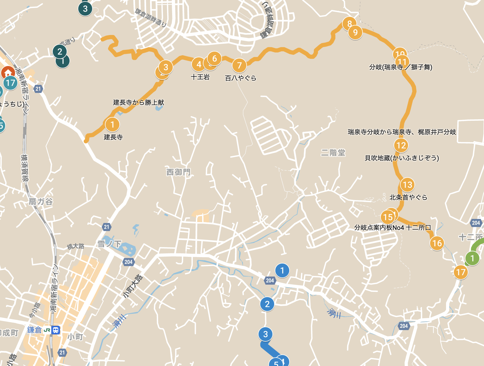
starting point
There are three approaches to D Tenen from the direction of JR Kitakamakura Station.
Vending Machine and Restroom Information
- vending machine
It is located at the “Tenen Rest Area” in the middle of the course, but is resort priced. It is located near before the start/after the finish.
- toilet
There are a few in the middle of the course and near the course, although not many for the distance. There are also some near the start of the course, but not near the finish line at the Twelve Exits.
Beverages, food, etc.
Please refer to Toshi’s Kamakura Hiking Map for details.
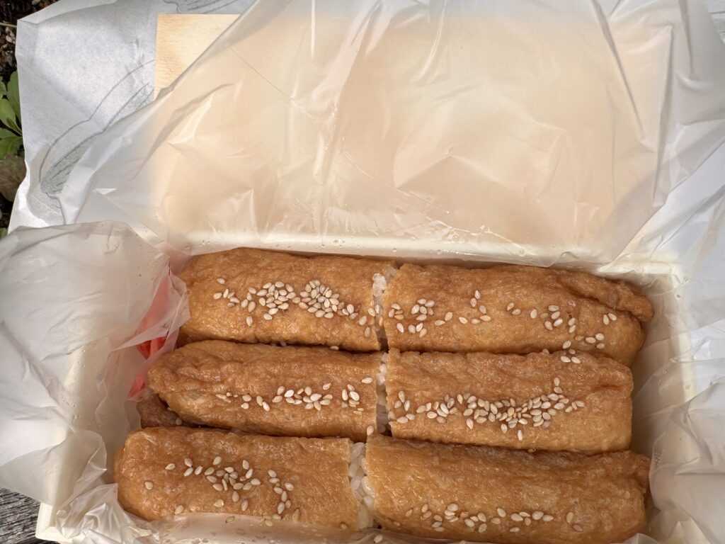
Inari Sushi Kosen
Eating log page
It is located just to the left of the east exit of JR Kitakamakura Station, just off the road.
Juicy inari sushi is very popular. It makes a great lunch to take with you.
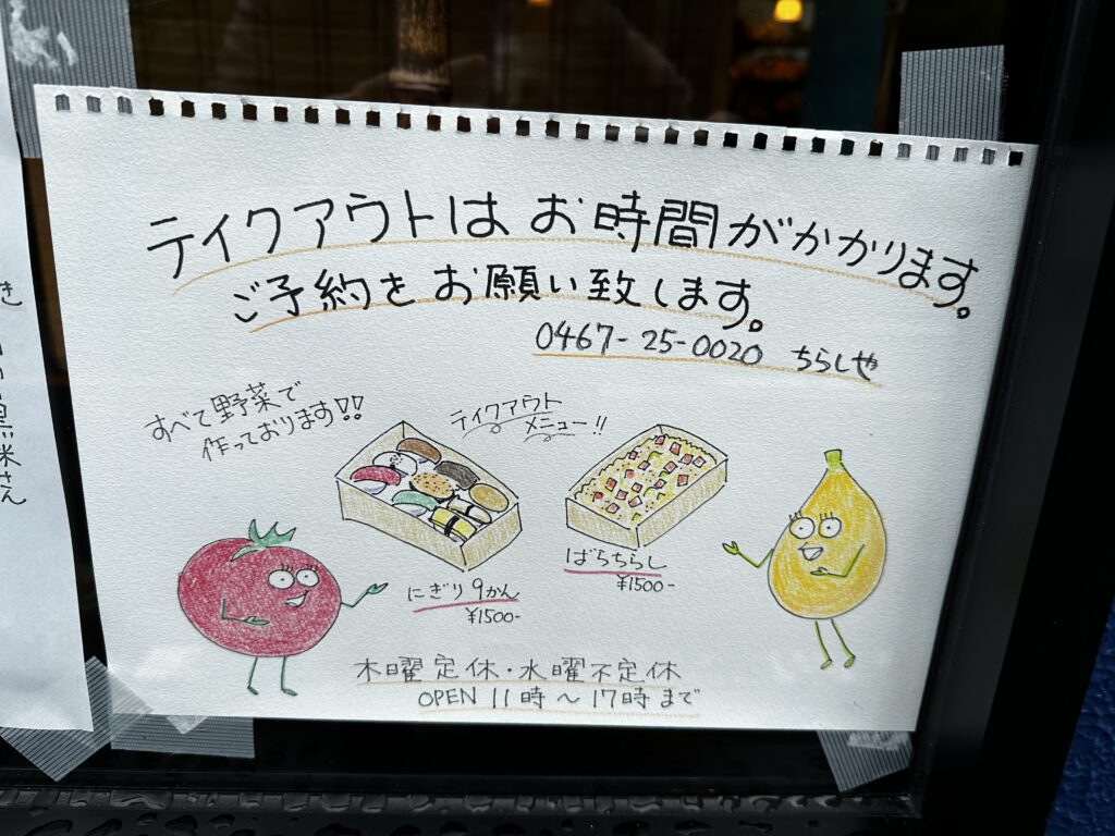
Currently, it seems that the husband is the sole operator, and reservations by phone are required. When I inquired, I was told that the hours of pickup were from 11:00 to 14:30. I asked him about it and he said he could only accept orders from 11:00 to 14:30.
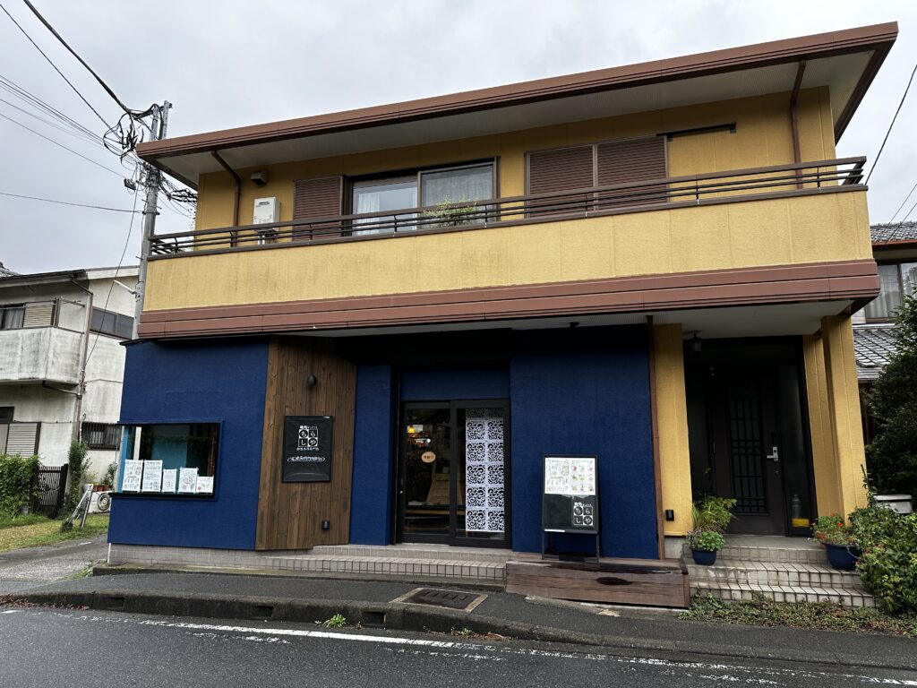
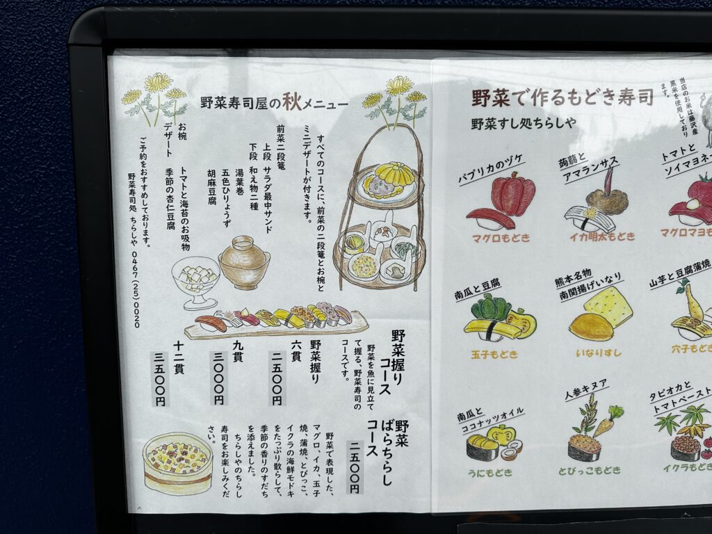
Vegetable Sushi Chirashiya
Store’s HP
Sushi made with local Kanagawa vegetables.
The store opens at 11:00.
TakeOut may take some time, so it is better to make an appointment.
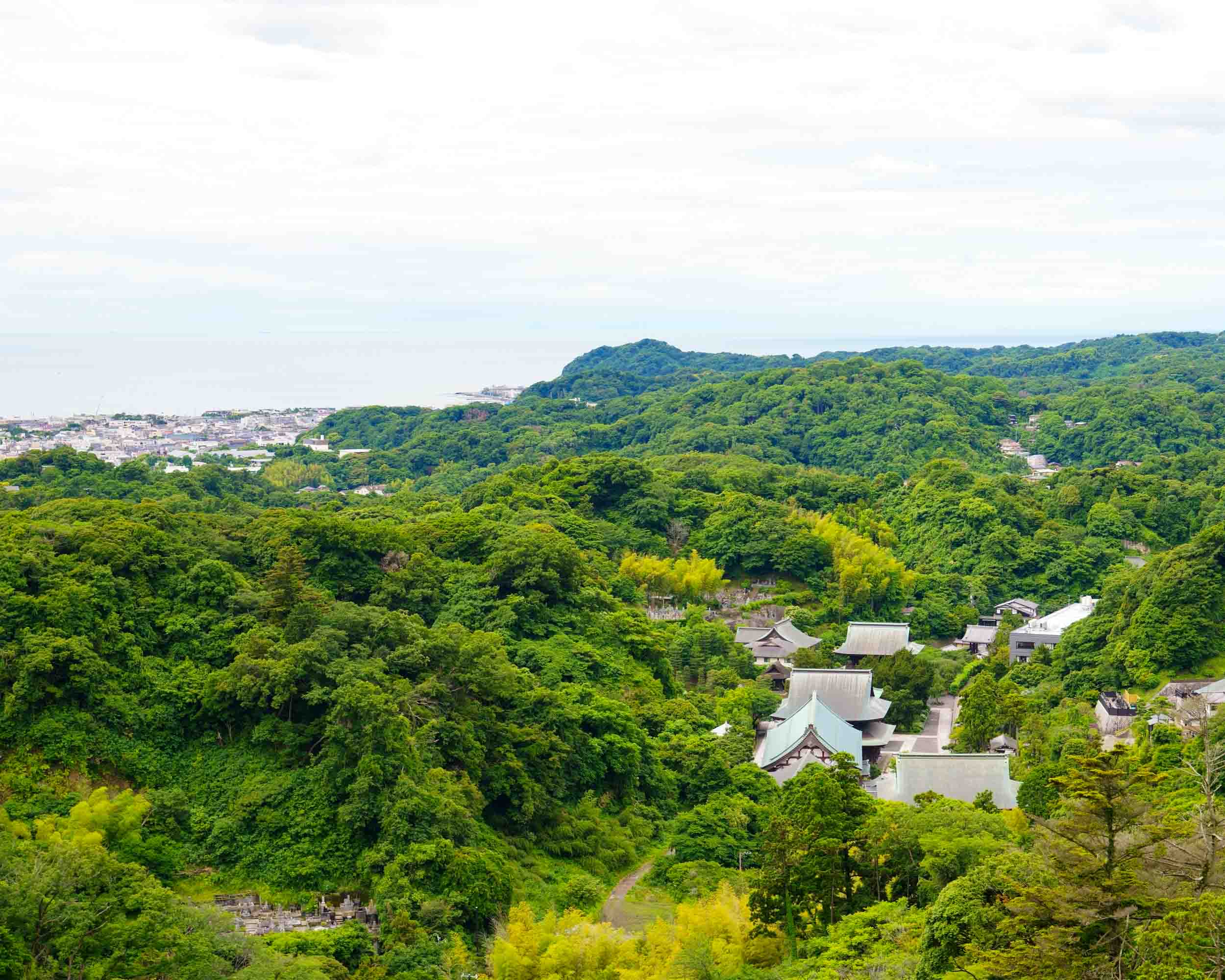
Katsujyouken Observation Deck ❸
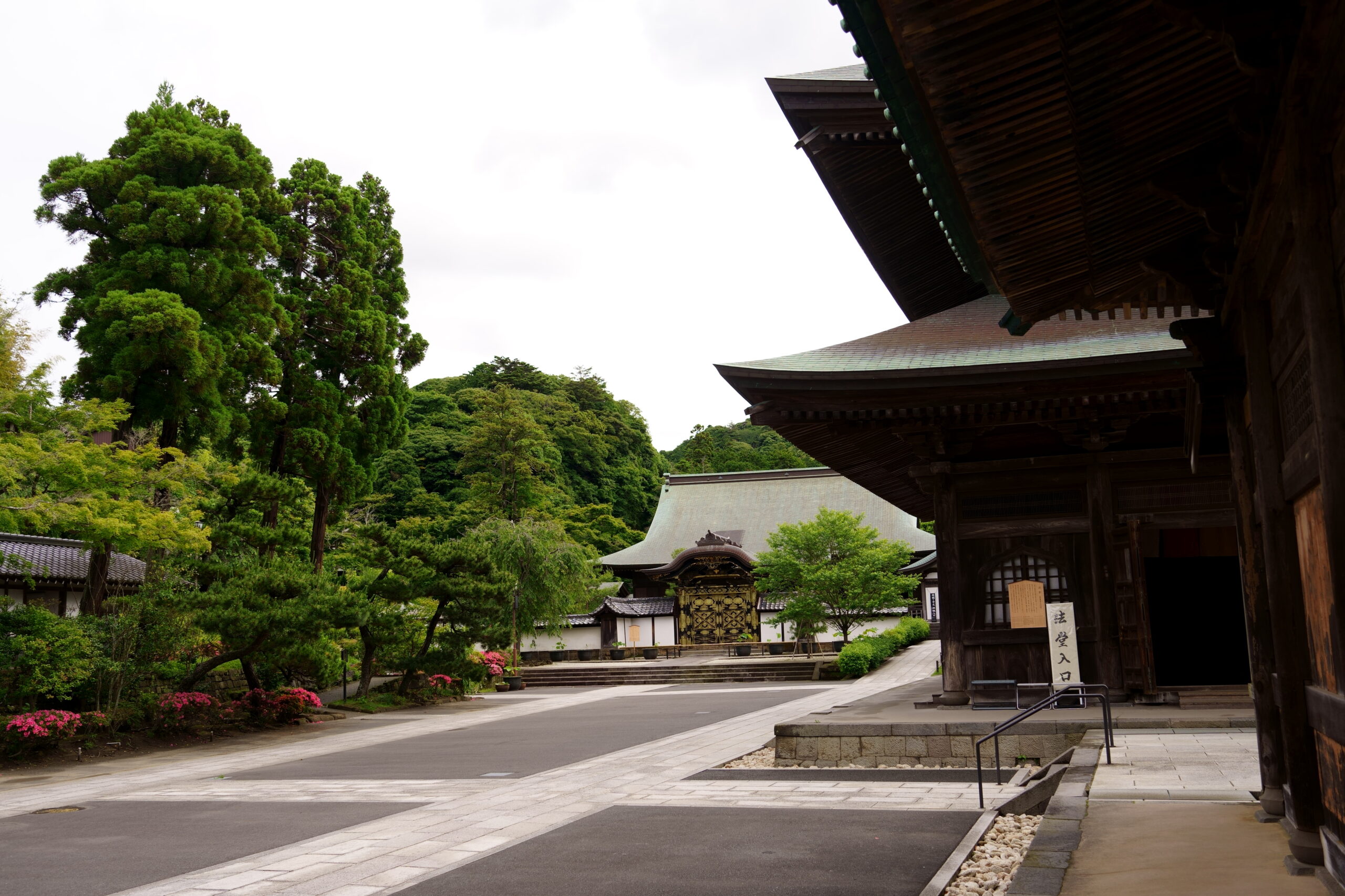
It is located at the far end of Kenchoji Temple, about 5 minutes uphill from the Jizo Hall where the Katsusho Jizo is enshrined. It is about a 30-minute walk from the main gate of Kenchoji Temple. It is a superb viewpoint from which you can see the entire Kenchoji Temple, Sagami Bay, the Izu Peninsula, and, if the weather permits, Mt.
This observation deck is the junction to Imaizumidai 4-chome and the Myogetsuin side entrance.
Jouou iwa❹
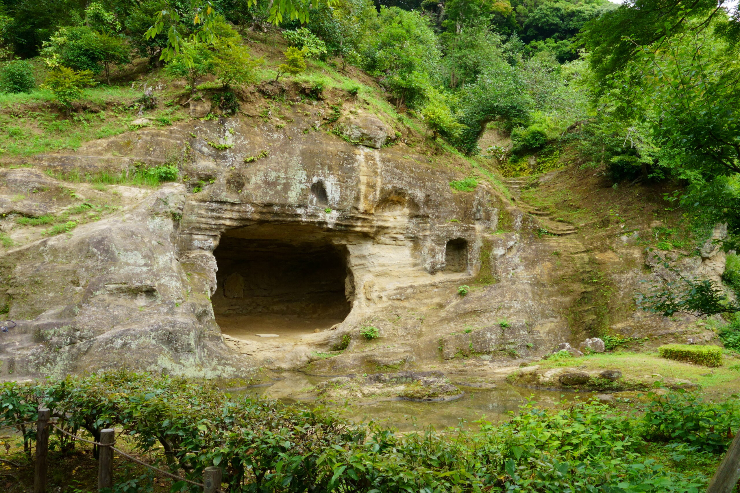
A large tuff rock not far from the Katsujyouken Three statues of the Ten Kings are carved on its surface.
The flat area next to this Juohiwa is a superb viewpoint from which you can see Wakamiya-oji Avenue, which stretches in a straight line, and Sagami Bay.
The origin of Juu-oh-iwa seems to come from the fact that it was also called “Aroused Juu-oh” because of the eerie noises it made at night.
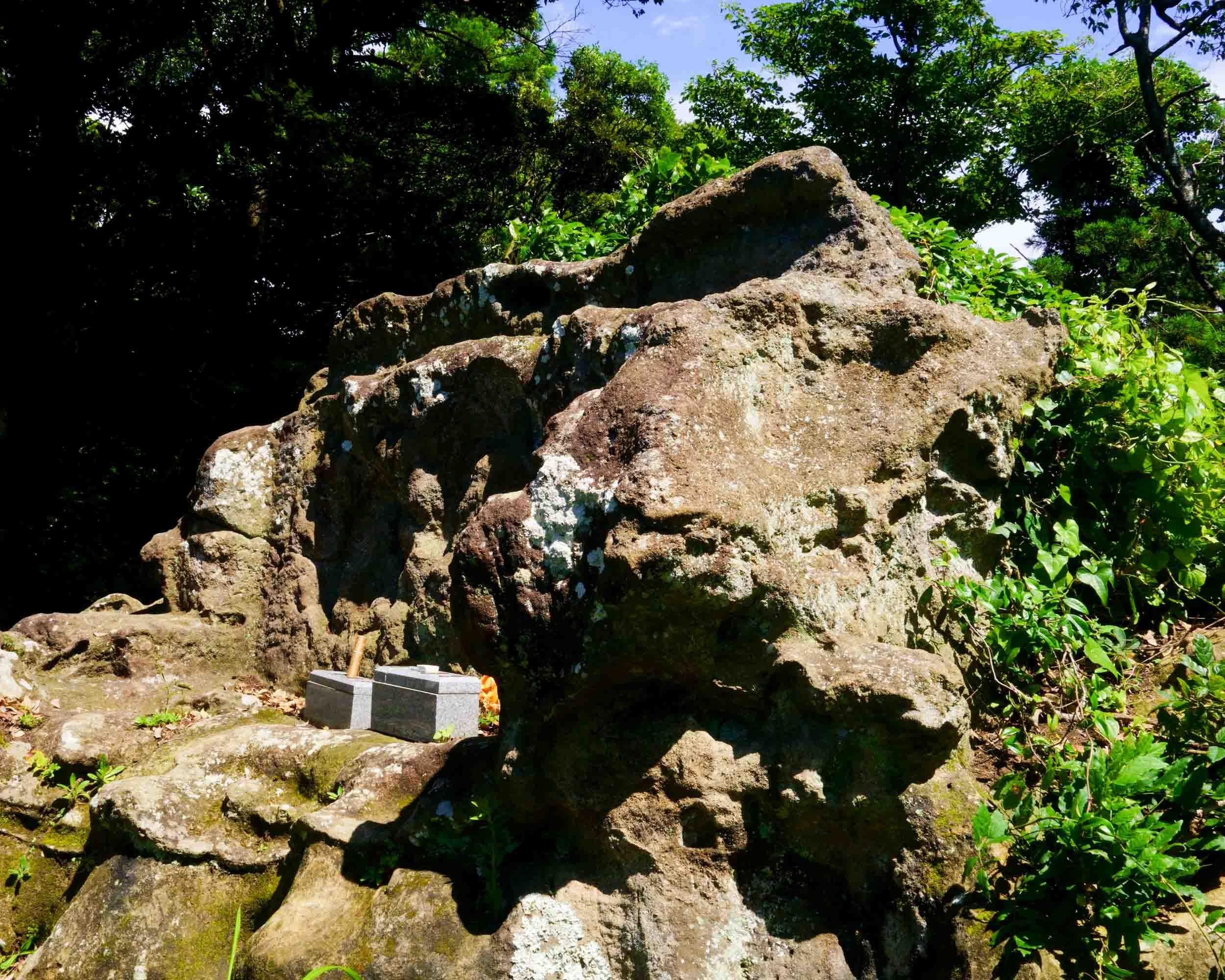
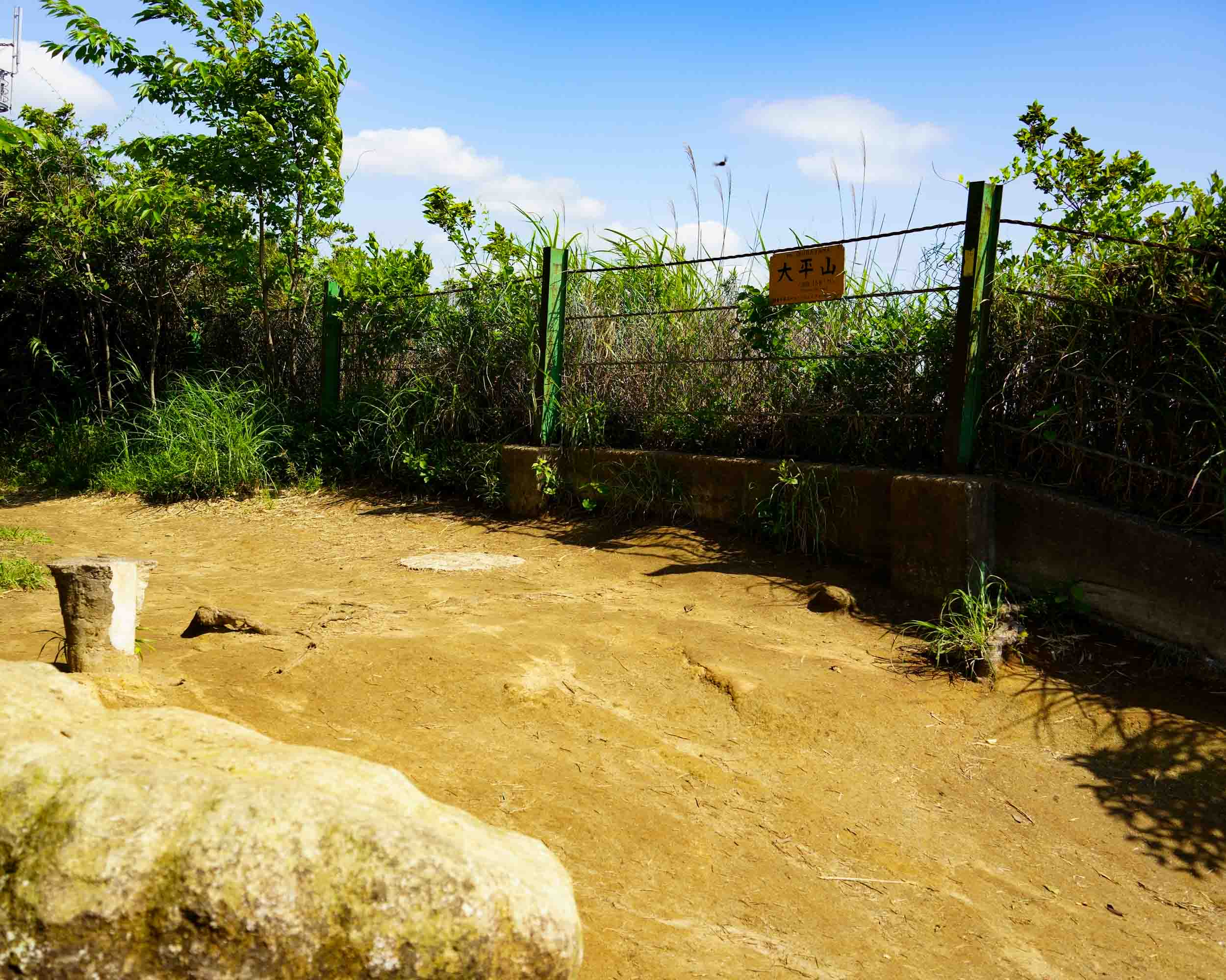
Mt. Ohira Summit
Ohirayama is the highest peak in Kamakura City. It is 159.2 meters above sea level.
This area of Mt. Ohira is called Tenen.
It is just at the border with Yokohama City, the highest point in Sakae Ward. It is at the point of the previous note on the branch.
The name “Heavenly Garden” is said to have come from Heihachiro Togo, who once described it as “like playing in a heavenly garden.
Valley of the Lion Dance❿
From Tenen, the trail splits into two directions: toward Shishimai-no-Tani and toward Zuisen-ji.
Shishimai-no-Tani is a walking route through a ravine along the Nikaido River. It is cool even in summer, and visitors can enjoy ferns, rock surfaces, and deep forests.
In the fall, the foliage is spectacular, and the fall foliage is wonderful to see from along the valley.
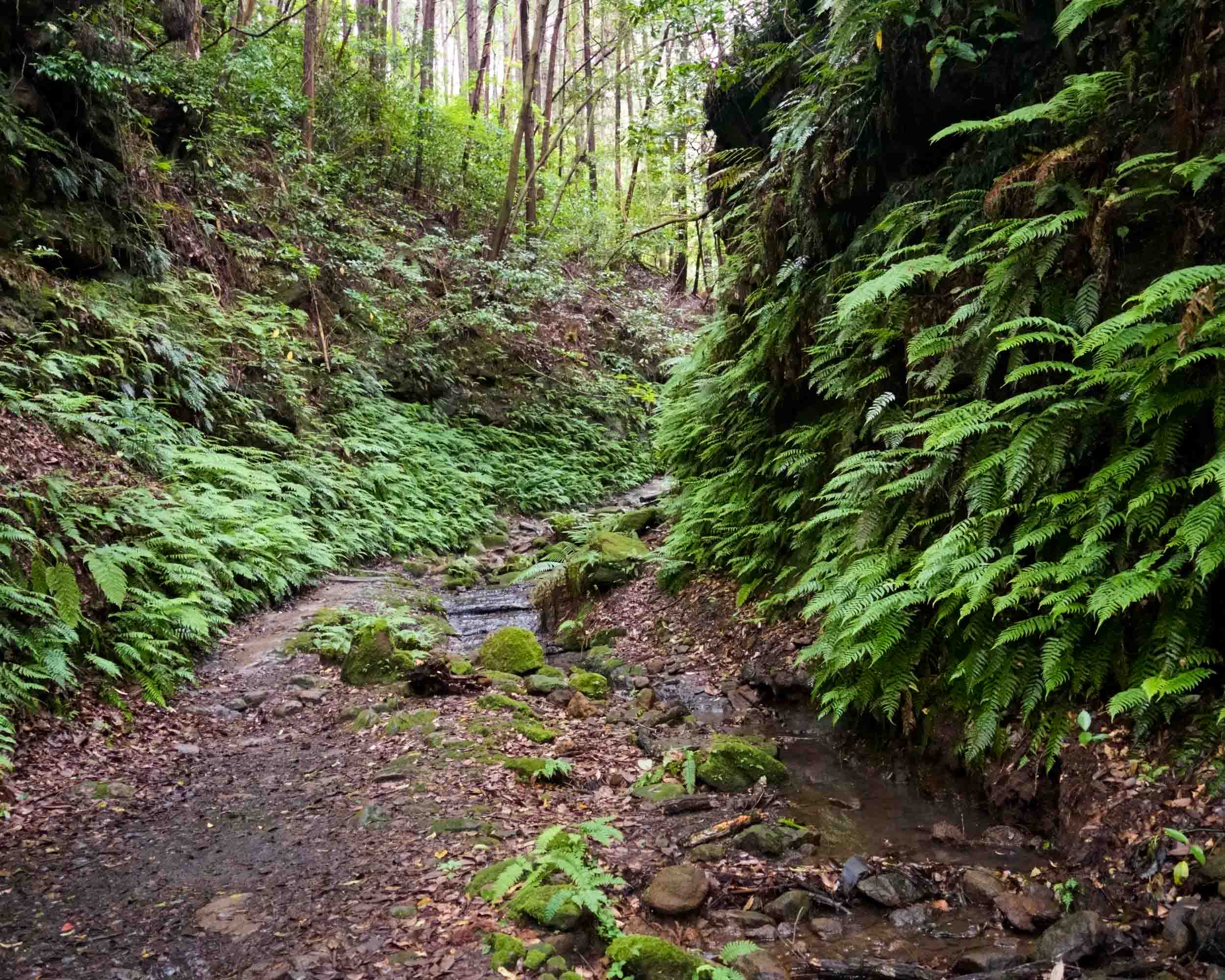
From Shengliangmen Observatory to Juwangiwa and Taiping Mountain
Taiheizan, Shishimai-no-Tani, D-3 Eifukuji Exit
goal point
D: The Tianyuan course has many exits. Various combinations are possible depending on the purpose of sightseeing after the hike.
Vending Machine and Restroom Information
For more information, see Toshi’s Kamakura Hiking Map.
Vending machines Places to purchase groceries
-
- When leaving the Jujisho side exit and heading for Asahina Kiridori
The vending machine is located near the intersection with Kanazawa Kaido, near the entrance to Asahina Kiridori.
There is no place to purchase groceries, etc. - D-2 Kakuenji Temple D-3 Eifukuji Temple Ruins D-4 Ruisenji Temple Exit to Kamakura Palace
- There are many vending machines in the vicinity of Kamakura Palace.
- When leaving the Jujisho side exit and heading for Asahina Kiridori
toilet
-
- Public restrooms are available at Kakuonji Temple, Kamakura Palace, and Zuisenji Temple.
Information on walking around the area near the goal point
For more information, see Toshi’s Kamakura Hiking Map.
Access point to D-1 Kakuonji, D-2 Youfukuji, D-3 Zuisenji
Bus stop near “Kiremichi
For more information, see Toshi’s Kamakura Hiking Map.
If you exit from the Kakuenji, Eifukuji, or Zuisenji exit of the Tenen Course, you will be returning from Kamakura Palace.
If you use this as your entrance, the bakery is right near the bus stop “Kiremichi”.
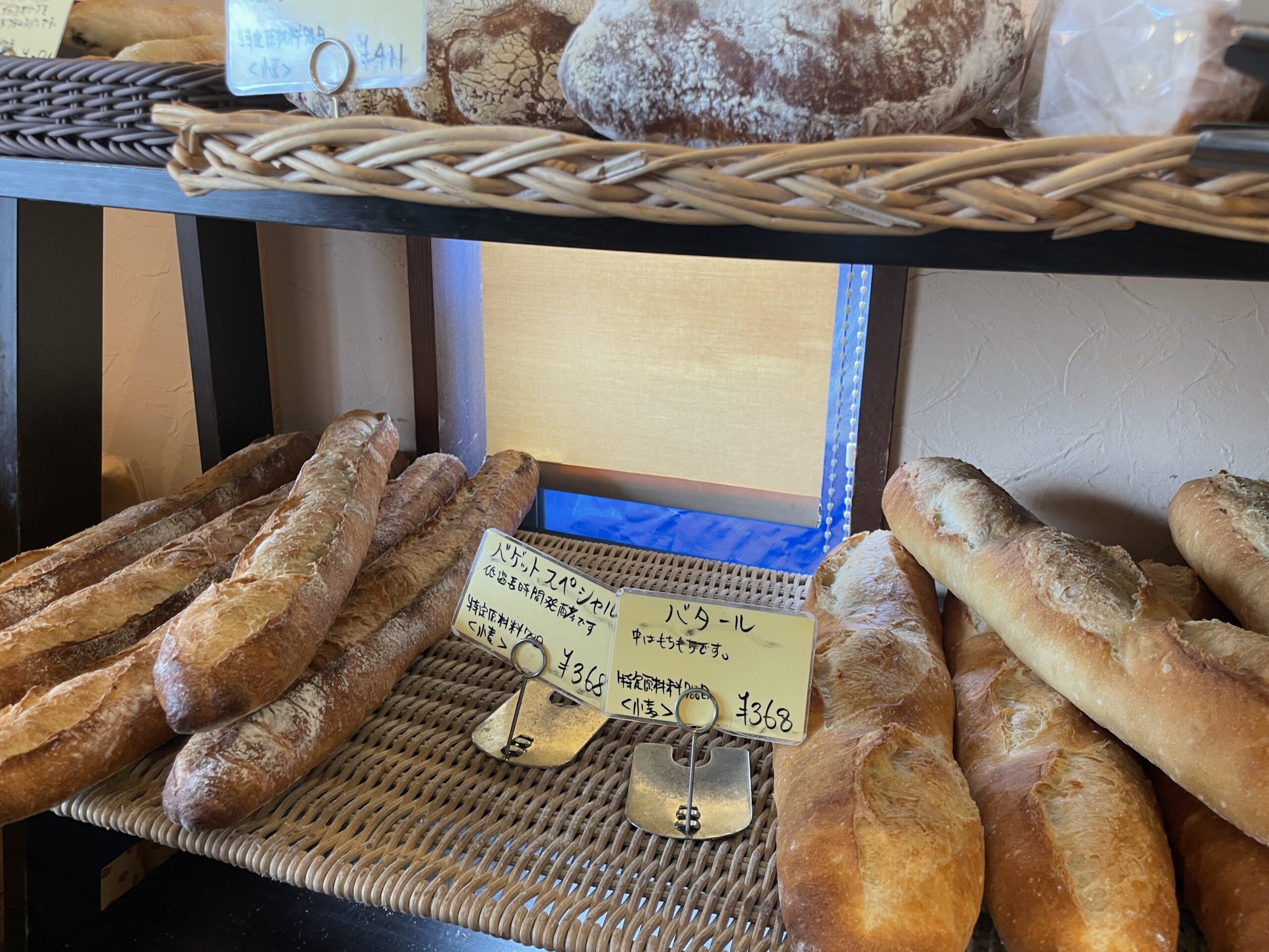
You can also look forward to purchasing delicious bread at Mont Peche Mignon Vigo’s.
Mont Peche Mignon Vigo’s
There is a bakery “Mont Peche Mignon Vigo’s” with a large parking lot in front of the intersection of “The Crossroads”. It means “my favorite” in French.
Baguettes, batards, buttery croissants and danishes are also very good. A café is attached and available from 7:00 a.m., so starting from D-2 Kakuenji, D-3 Eifukuji, or D-4 Zuisenji, you can have breakfast or a pot of coffee here for an enjoyable hike.
